Introduction
This is a child collection of the main A14 Cambridge to Huntingdon archaeological project archive. For the purposes of analysis, the various Targeted Excavation Areas (TEAs) that formed the mitigation work have been grouped into eight Landscape Blocks.
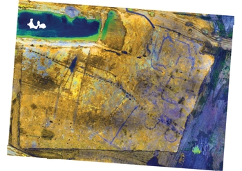
This child collection concerns the Brampton South Landscape Block. Brampton South landscape comprised two TEAs (10B East and 13) covering 5.83 hectares, situated approximately 400m apart. The earliest feature within the landscape block was a late Bronze Age–early Iron Age pit alignment, while two middle to late Iron Age settlements were also identified. No significant later activity was identified.