Introduction
This is a child collection of the main A14 Cambridge to Huntingdon archaeological project archive. For the purposes of analysis, the various Targeted Excavation Areas (TEAs) that formed the mitigation work have been grouped into eight Landscape Blocks.
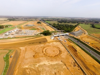
This child collection concerns the Brampton West Landscape Block. Brampton West comprised eight TEAs (7A, 7B, 7C, 8, 9, 10, 11 and 12) covering 78 hectares in the western part of the A14 excavations, predominantly on the western side of the A1 and to the south of the A14. The earliest archaeological evidence comprised scattered Neolithic pits focused around the palaeochannel network, while there was more significant activity from the Bronze Age, comprising early – middle Bronze Age funerary activity including three cemeteries and a ring ditch monument. Intensive middle and late Iron Age settlement and agricultural activity was identified across the entire landscape block, comprising five separate ‘Settlements’ with enclosures, field systems and trackways. There was a contraction of activity in the Roman period, with only two Roman settlements identified. More diverse activities were identified within these two Roman settlements including industrial activities such as pottery production. Significant Anglo-Saxon settlement was identified in the landscape block, with the earliest in the south comprising an open scattered settlement of SFBs, post-built structures and pits / wells; another area of settlement to the north was predominantly middle Saxon in date and mainly comprised post-built structures. Settlement continued in this area into the medieval period, with one small discrete area of late Saxon – early medieval enclosed settlement and field systems, and a much larger and longer-lived medieval settlement to its north-west. This was the deserted medieval settlement of Houghton, established in the tenth/eleventh centuries and totally abandoned by the fifteenth century. The entirety of the landscape block was under agricultural use in the post-medieval and modern periods, with the remains of farm buildings and two nineteenth century brick kilns identified.