A14 Cambridge to Huntingdon Improvement Scheme: Digital Archive for Archaeological Works at Fenstanton Gravels Landscape Block, 2016-2018

MOLA Headland Infrastructure, 2025. https://doi.org/10.5284/1081254.

Introduction

A very regular and planned Roman Settlement with some finds suggesting a military association. It is connected to a number of other Roman farmsteads in the area by trackways and may have functioned as a distribution centre for the region. © A14C2H courtesy of MOLA Headland Infrastructure

This is a child collection of the main A14 Cambridge to Huntingdon archaeological project archive. For the purposes of analysis, the various targeted excavation areas (TEAs) that formed the mitigation work have been grouped into eight Landscape Blocks. These have been defined due to the nature of the archaeology, their geographical location, and in some cases, their geology/topography.

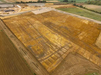
This child collection concerns the Fenstanton Gravels Landscape Block. Fenstanton Gravels comprises five TEAs (26-29 and 31), covering 55.8 hectares on river terrace gravels (TEAs 26-29) and clay (TEA31) to the north of Hilton. Archaeological remains from Prehistoric, Iron Age, and Roman periods were encountered.