Downloads
Files
![Thumbnail of View of gatepost features [198], from the south-west.](images/preview/49.jpg "Click to view View of gatepost features [198], from the south-west. as a JPG image")
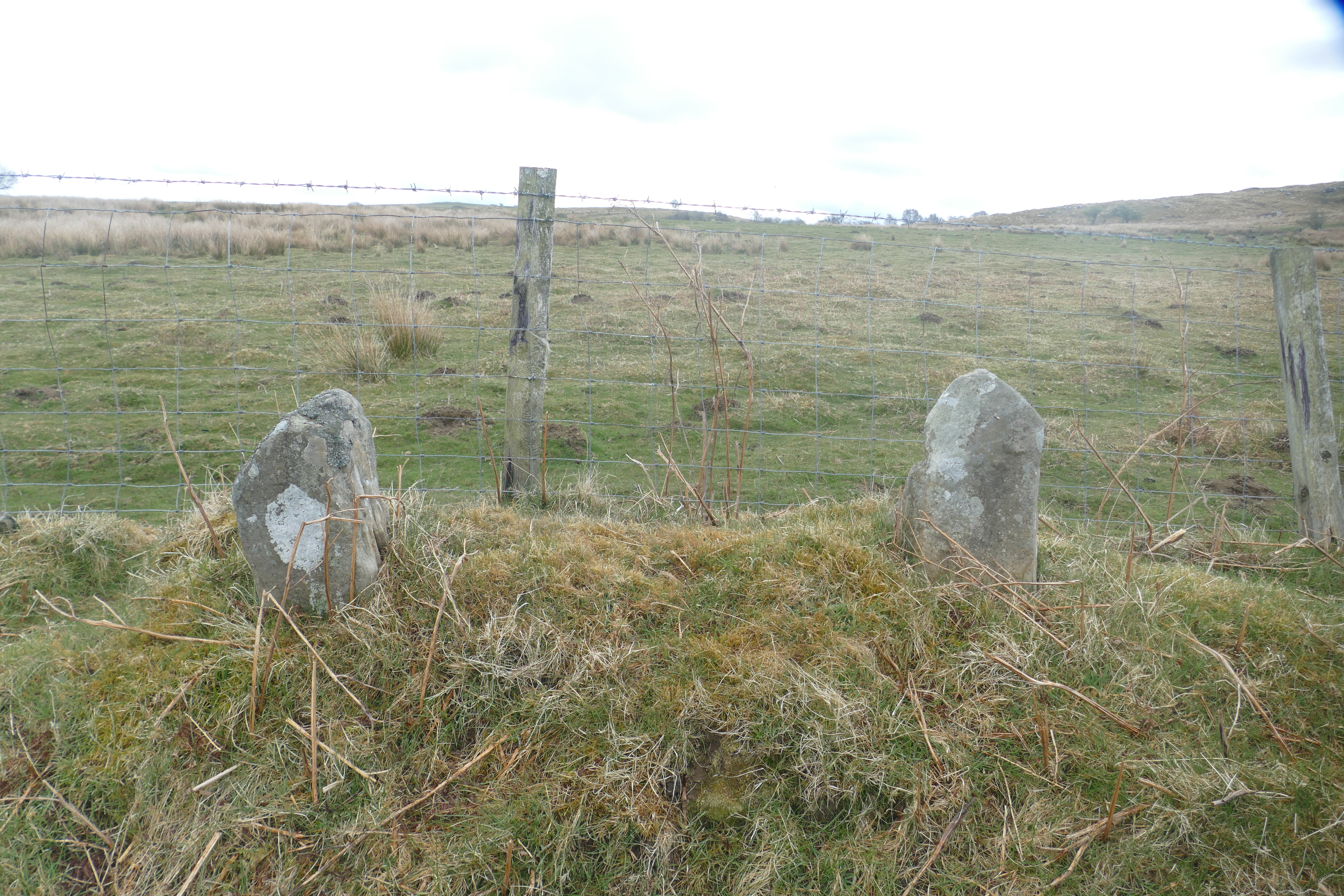
![Thumbnail of View of gateposts [207] from the south-east.](images/preview/55.jpg "Click to view View of gateposts [207] from the south-east. as a JPG image")
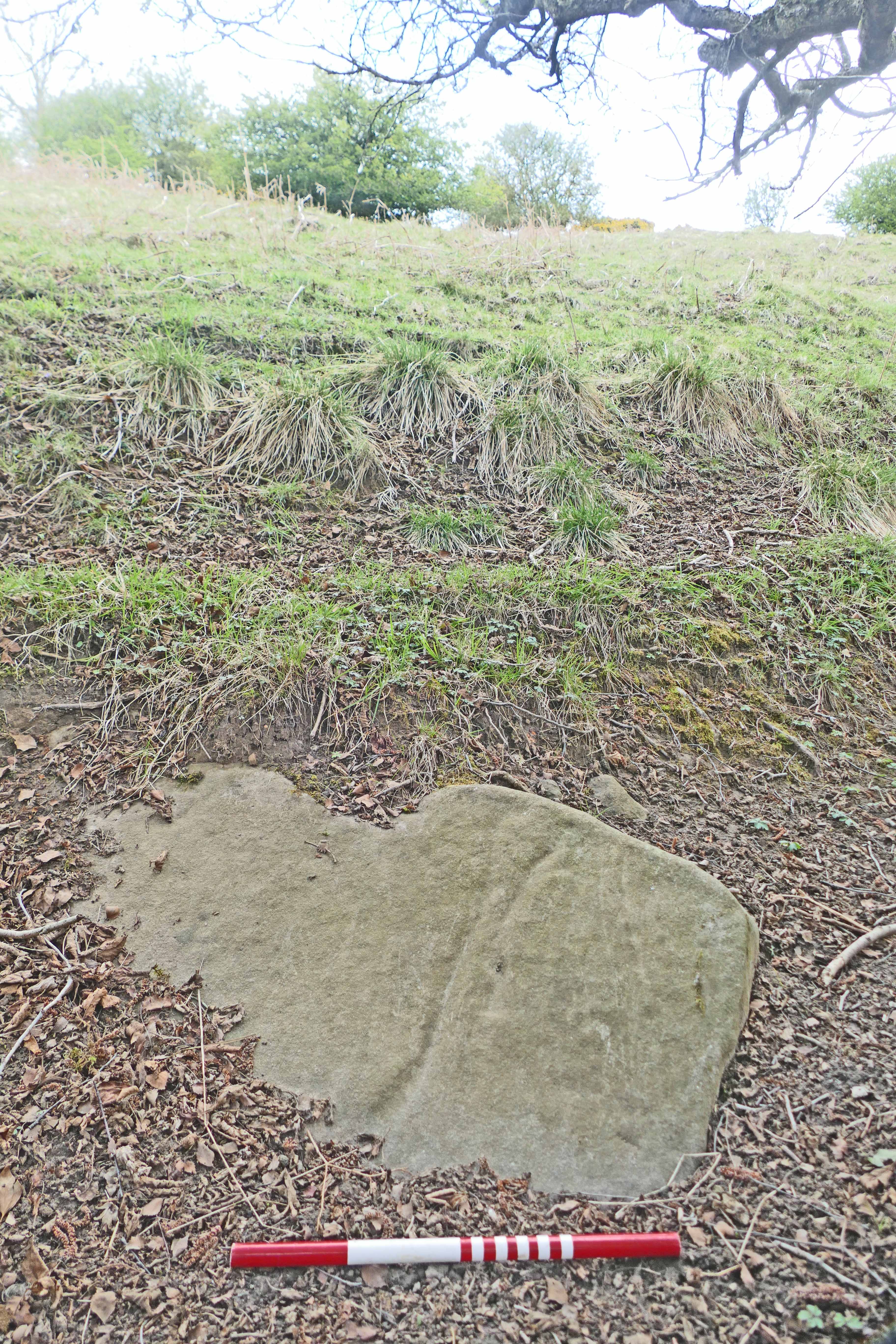
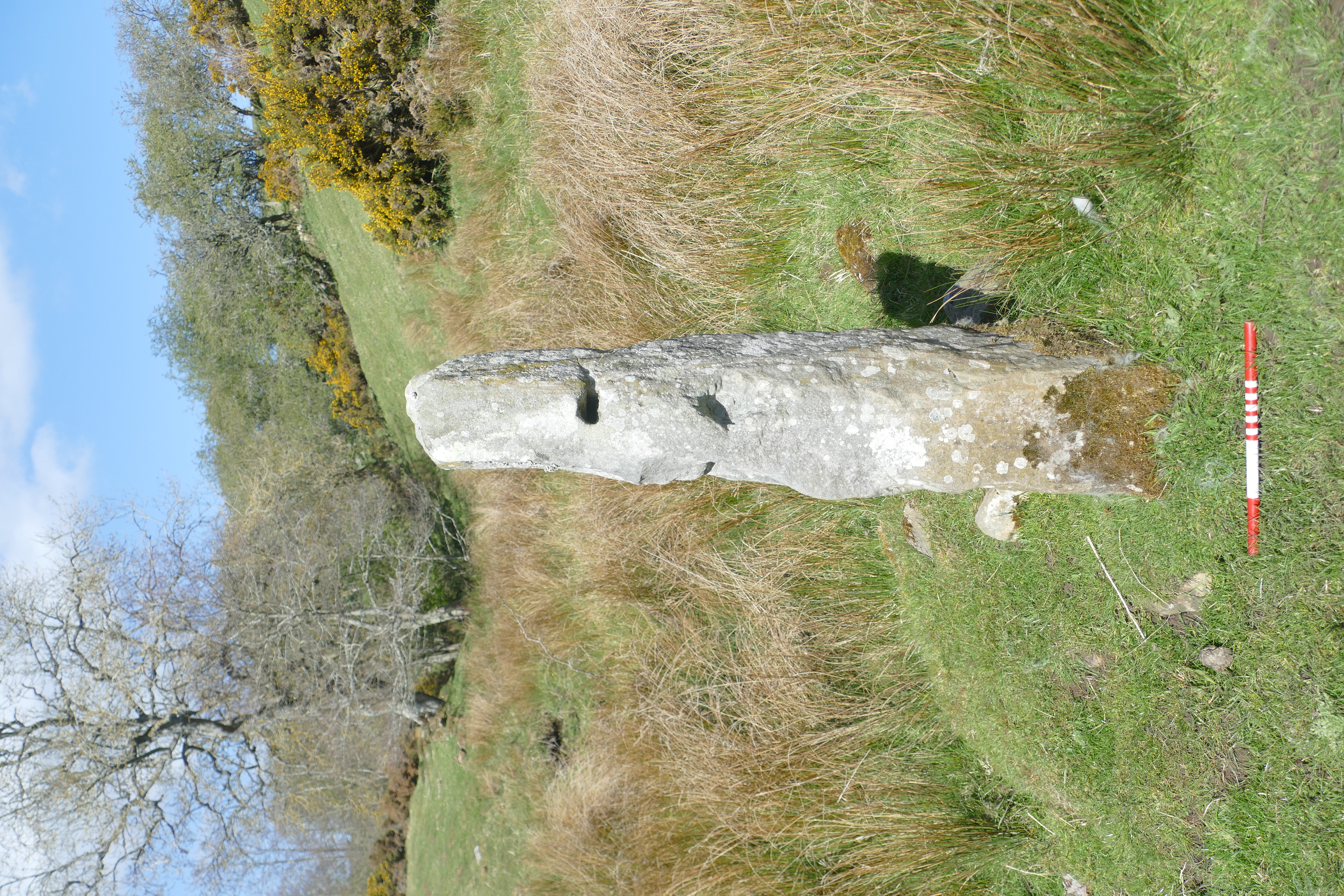
![Thumbnail of View of grooved stone [213] from WNW.](images/preview/64.jpg "Click to view View of grooved stone [213] from WNW. as a JPG image")
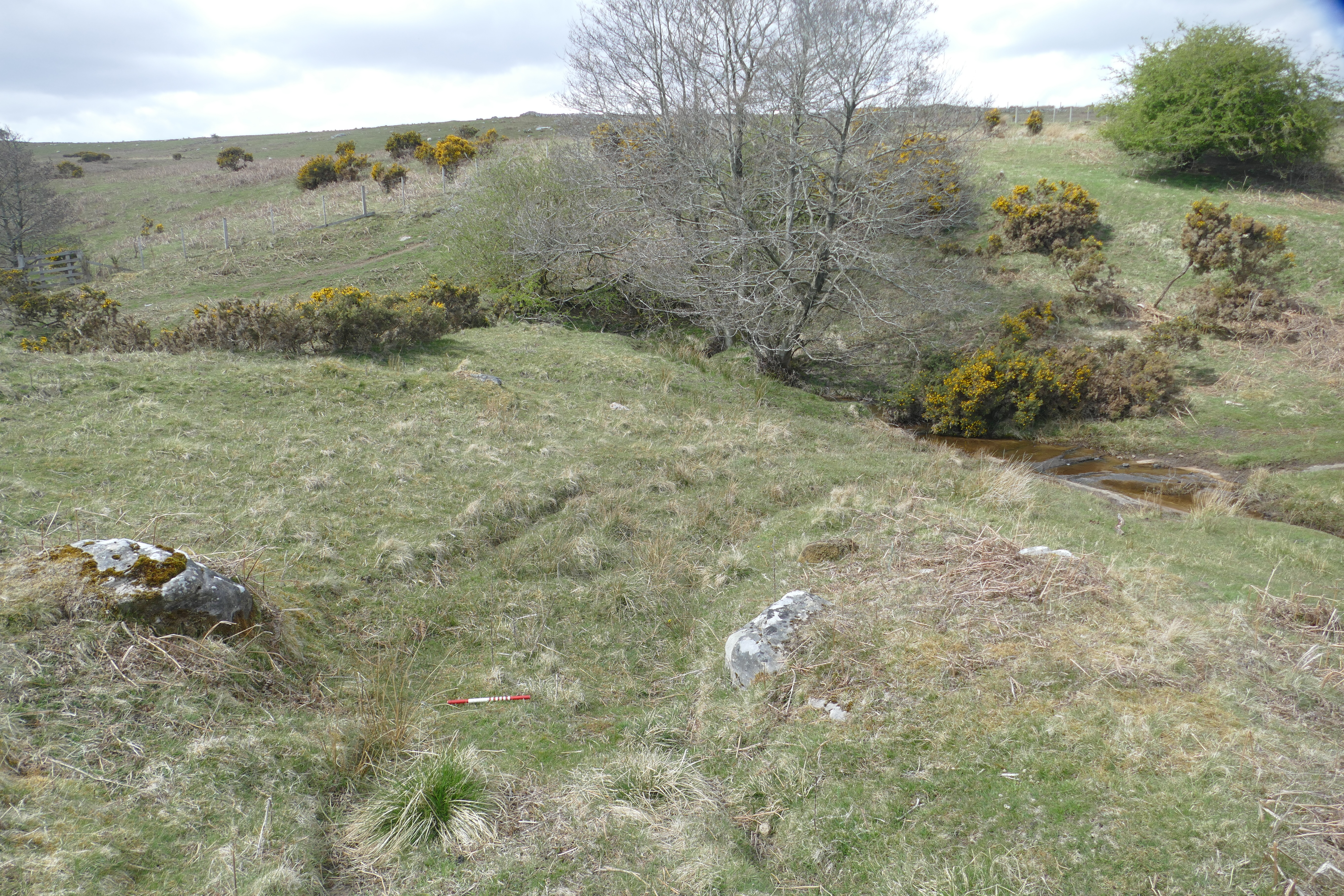
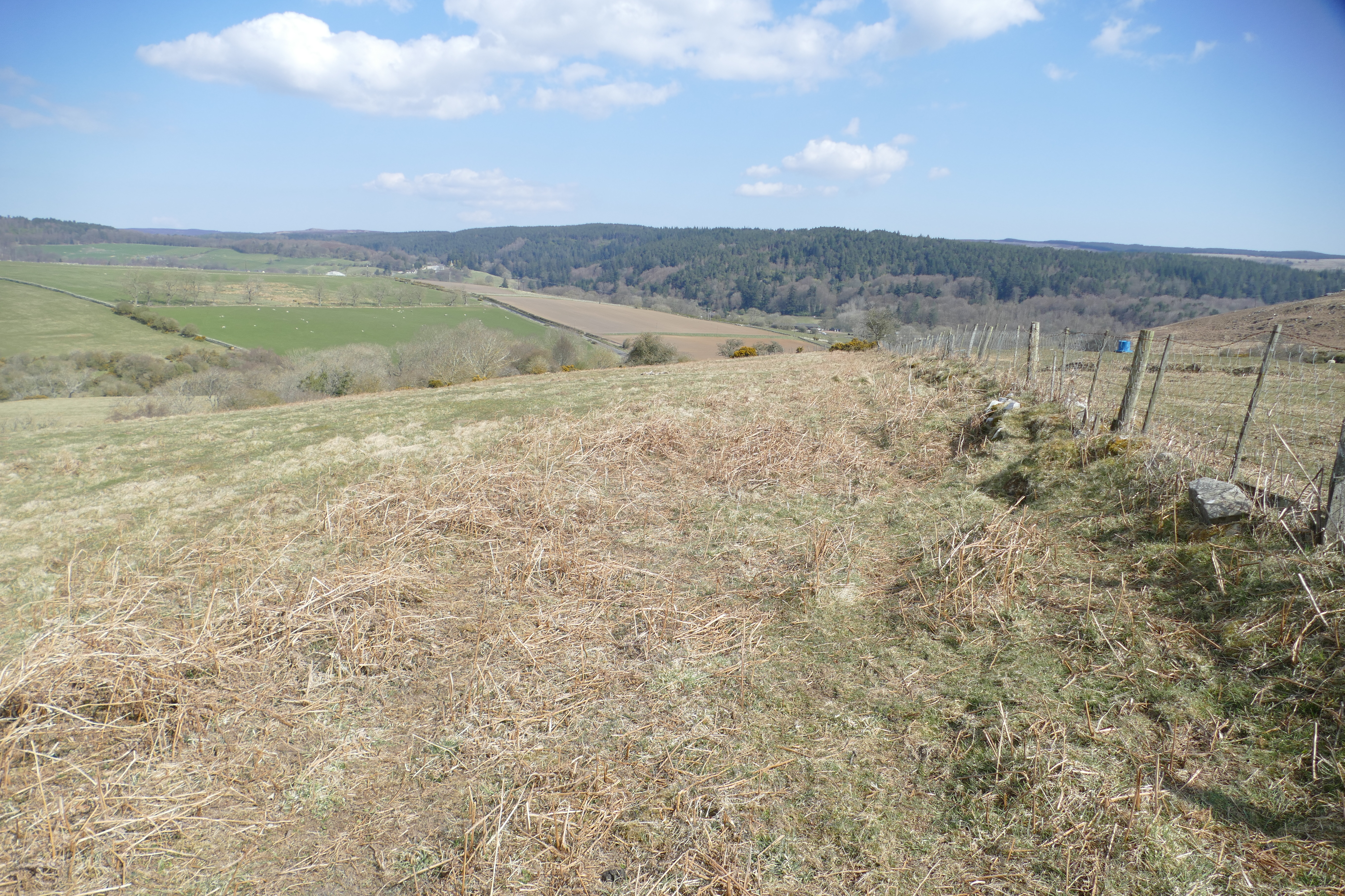
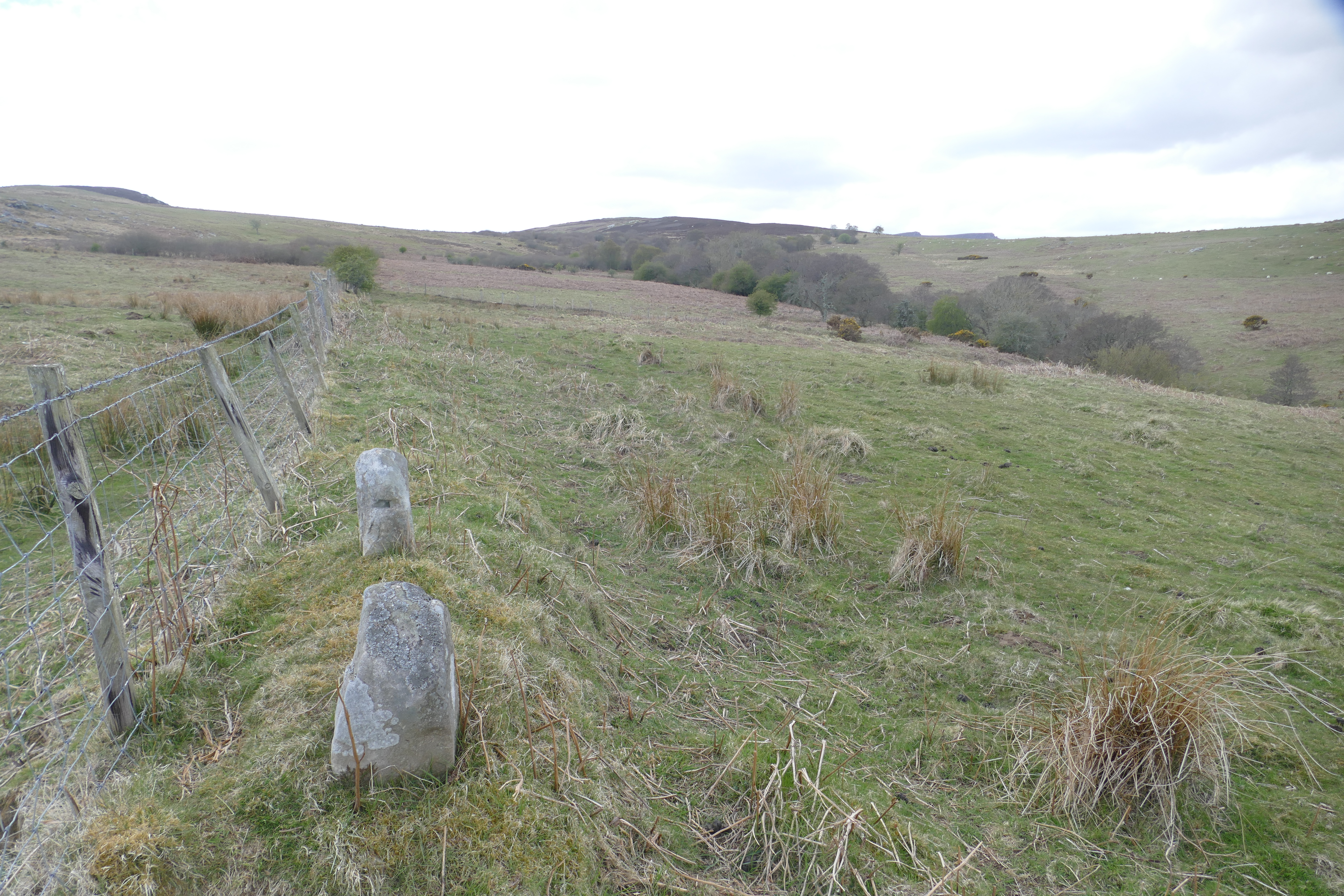
![Thumbnail of View of part of boundary feature [191].](images/preview/39.jpg "Click to view View of part of boundary feature [191]. as a JPG image")
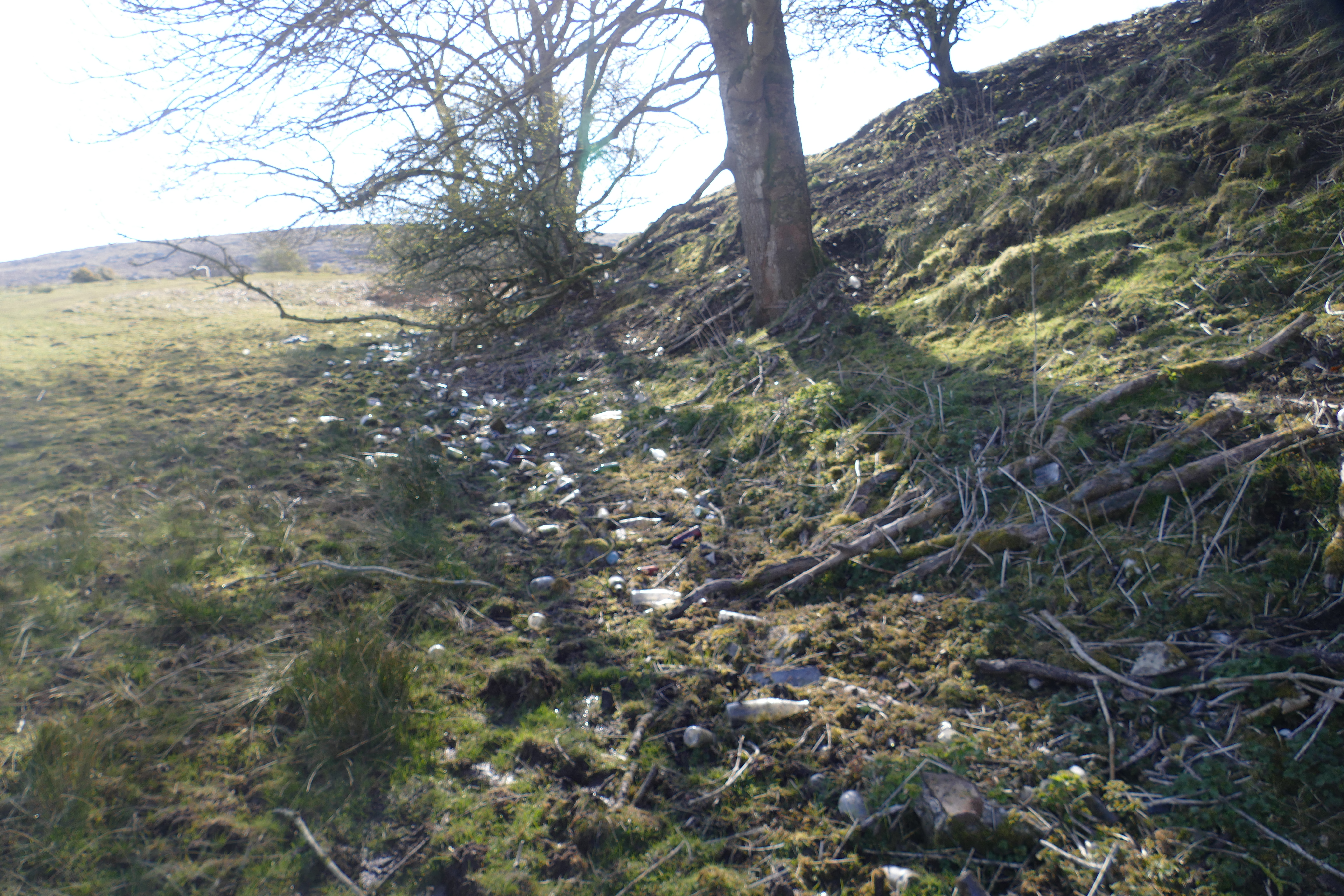
![Thumbnail of View of part of rubbish dump [228] on Alnwick Estates land south of Whitton Burn bridge.](images/preview/77.jpg "Click to view View of part of rubbish dump [228] on Alnwick Estates land south of Whitton Burn bridge. as a JPG image")
|
|||
| View of part of rubbish dump [228] on Alnwick Estates land south of Whitton Burn bridge. | |||
|---|---|---|---|
| Filename | 77.jpg (9 MB) |
JPG |
Info
Download |
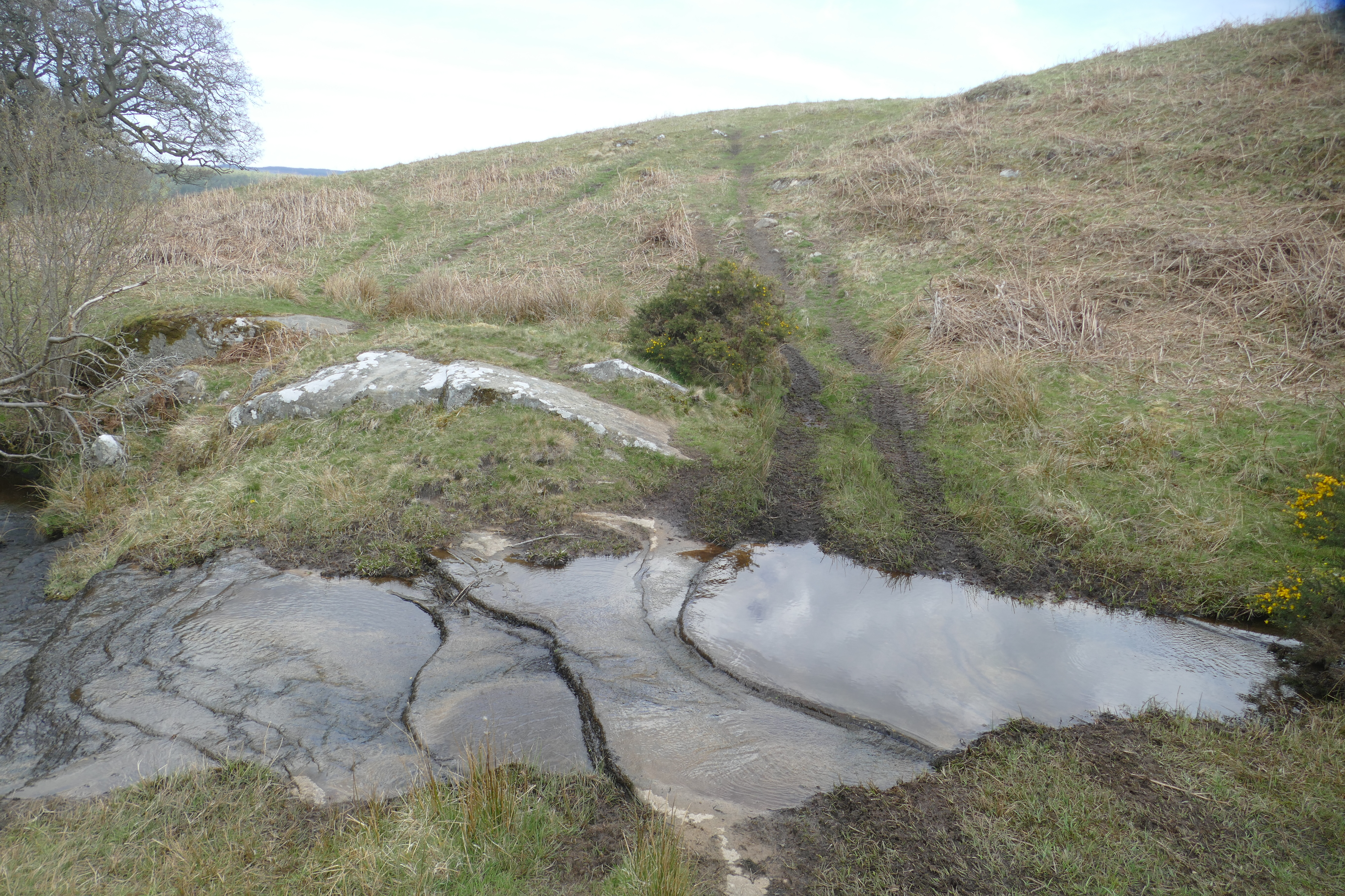
![Thumbnail of View of possible fording point near the south-western end of Area 2 close to rock art sites [225] & [226].](images/preview/74.jpg "Click to view View of possible fording point near the south-western end of Area 2 close to rock art sites [225] & [226]. as a JPG image")
|
|||
| View of possible fording point near the south-western end of Area 2 close to rock art sites [225] & [226]. | |||
|---|---|---|---|
| Filename | 74.jpg (10 MB) |
JPG |
Info
Download |
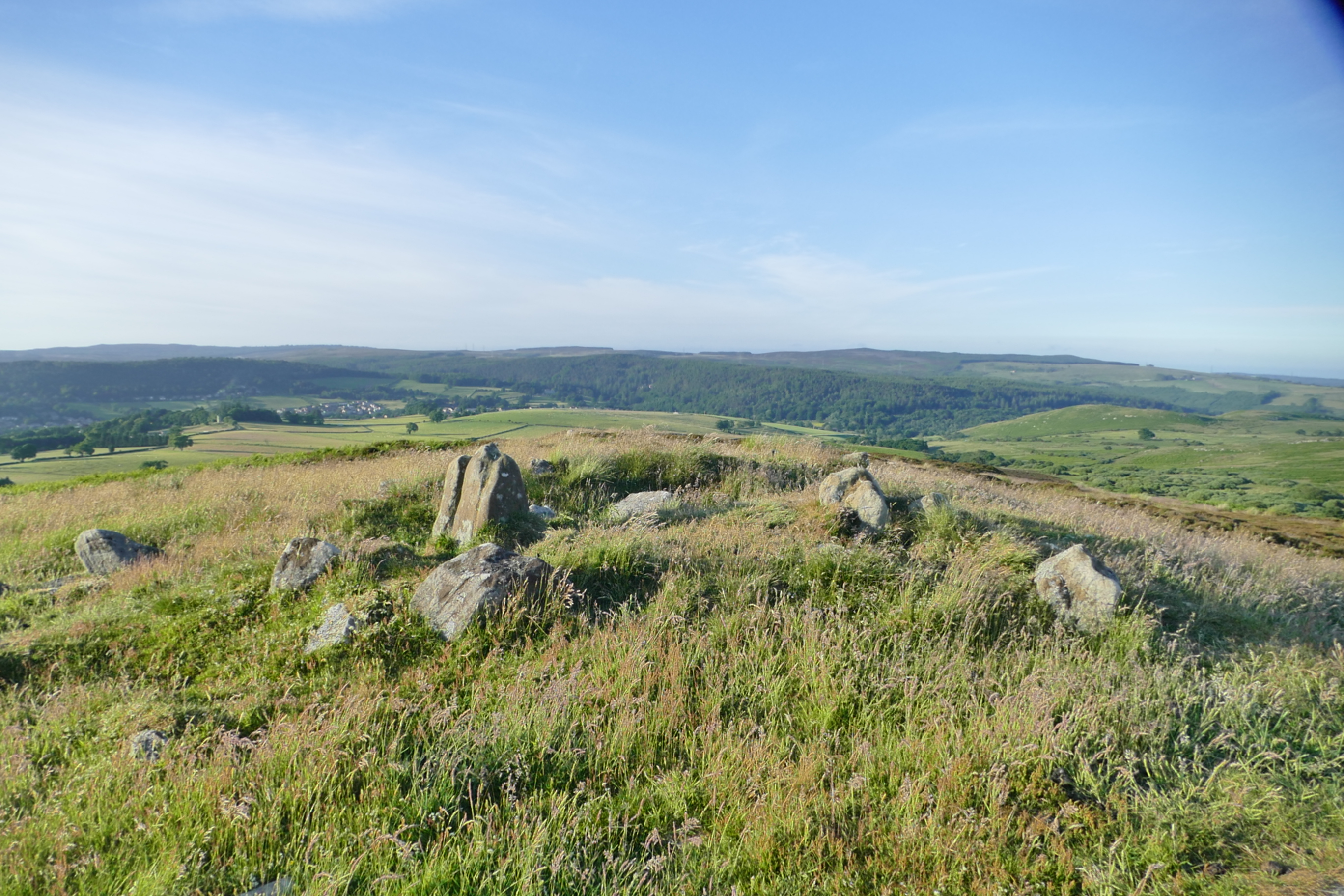
![Thumbnail of View of possible mound [216] from the south-east, measuring rod marking centre.](images/preview/67.jpg "Click to view View of possible mound [216] from the south-east, measuring rod marking centre. as a JPG image")
|
|||
| View of possible mound [216] from the south-east, measuring rod marking centre. | |||
|---|---|---|---|
| Filename | 67.jpg (10 MB) |
JPG |
Info
Download |
![Thumbnail of View of possible mound [222] from the north-east.](images/preview/73.jpg "Click to view View of possible mound [222] from the north-east. as a JPG image")
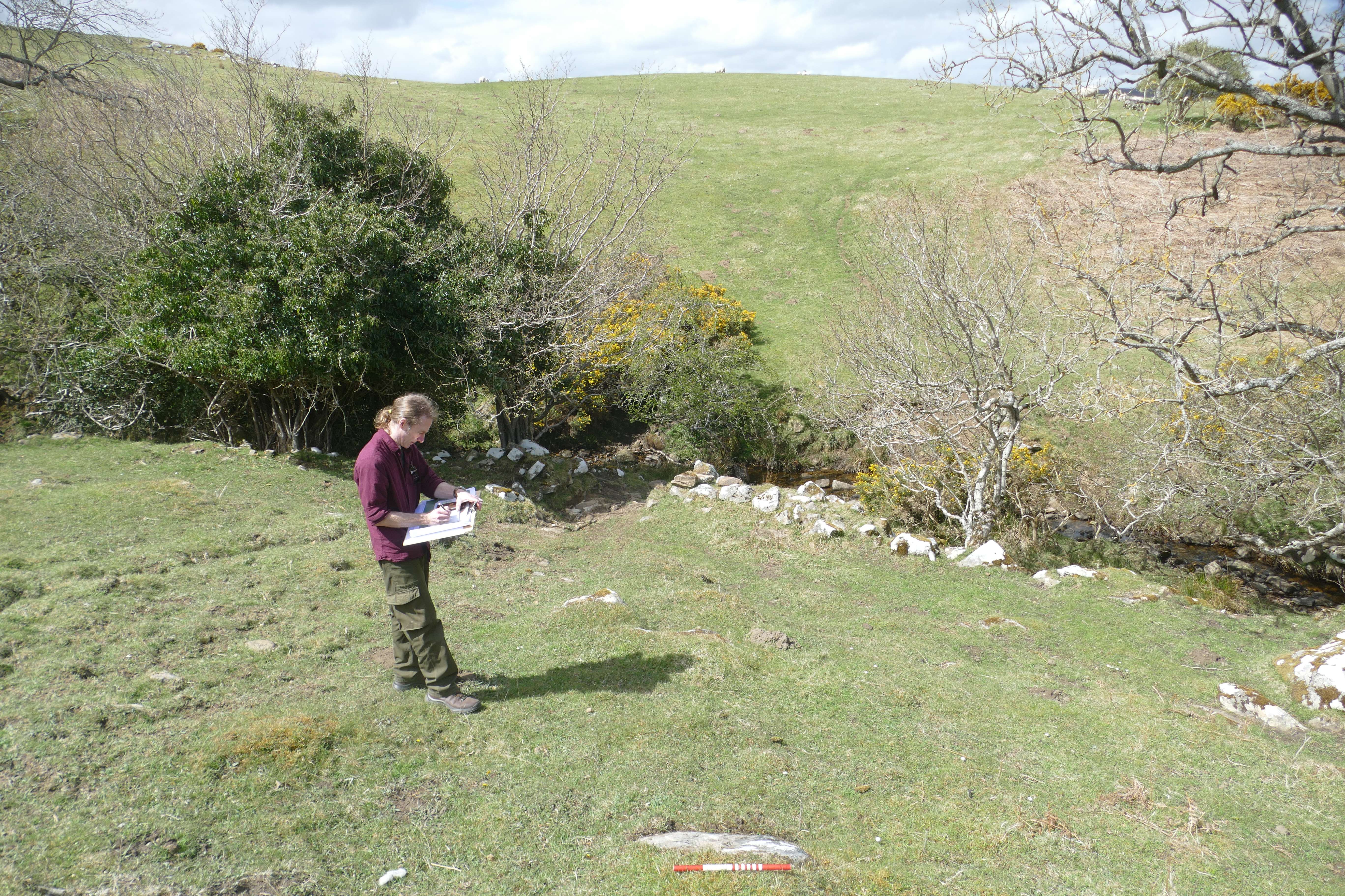
![Thumbnail of View of post feature [190].](images/preview/38.jpg "Click to view View of post feature [190]. as a JPG image")
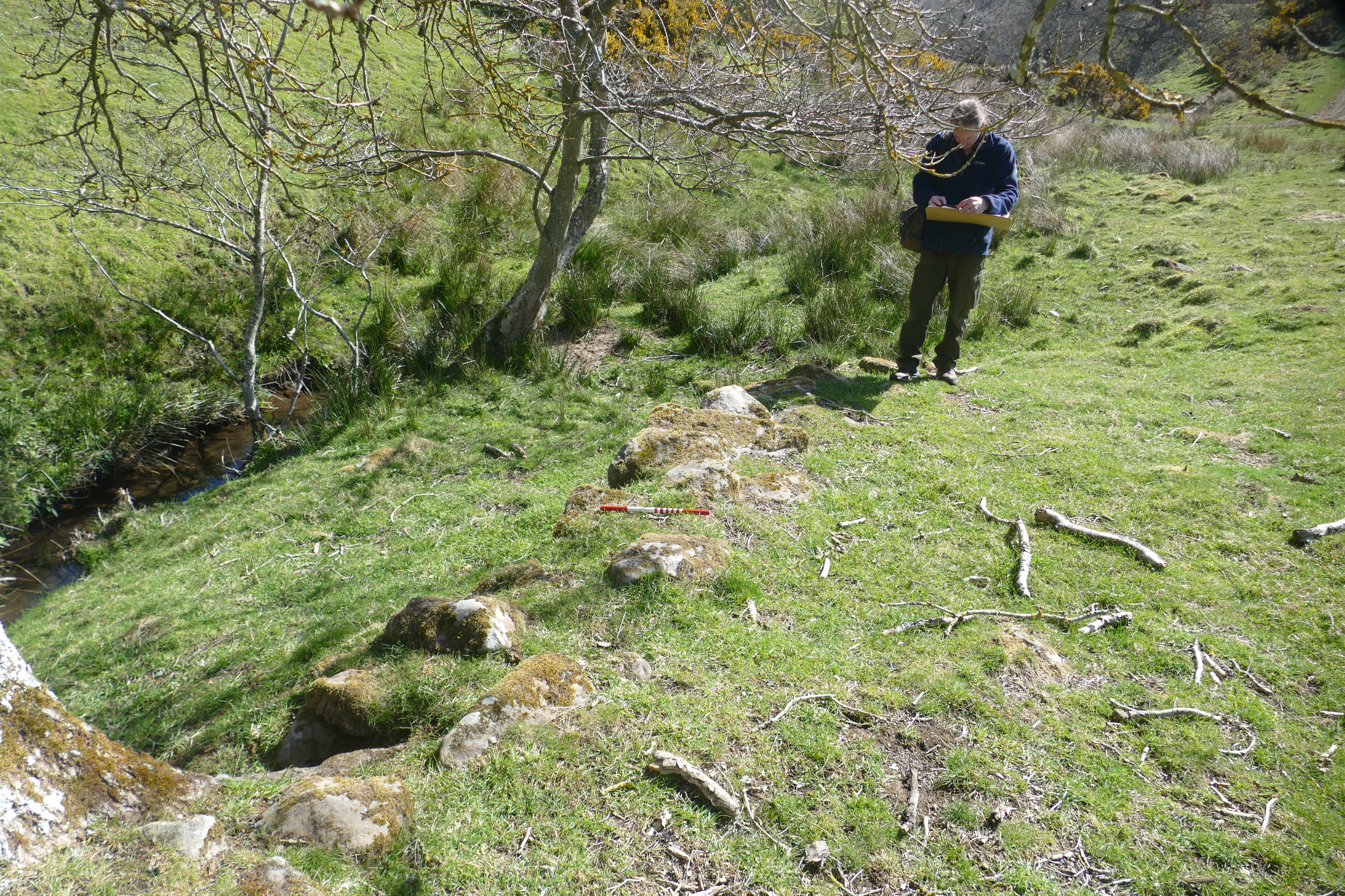
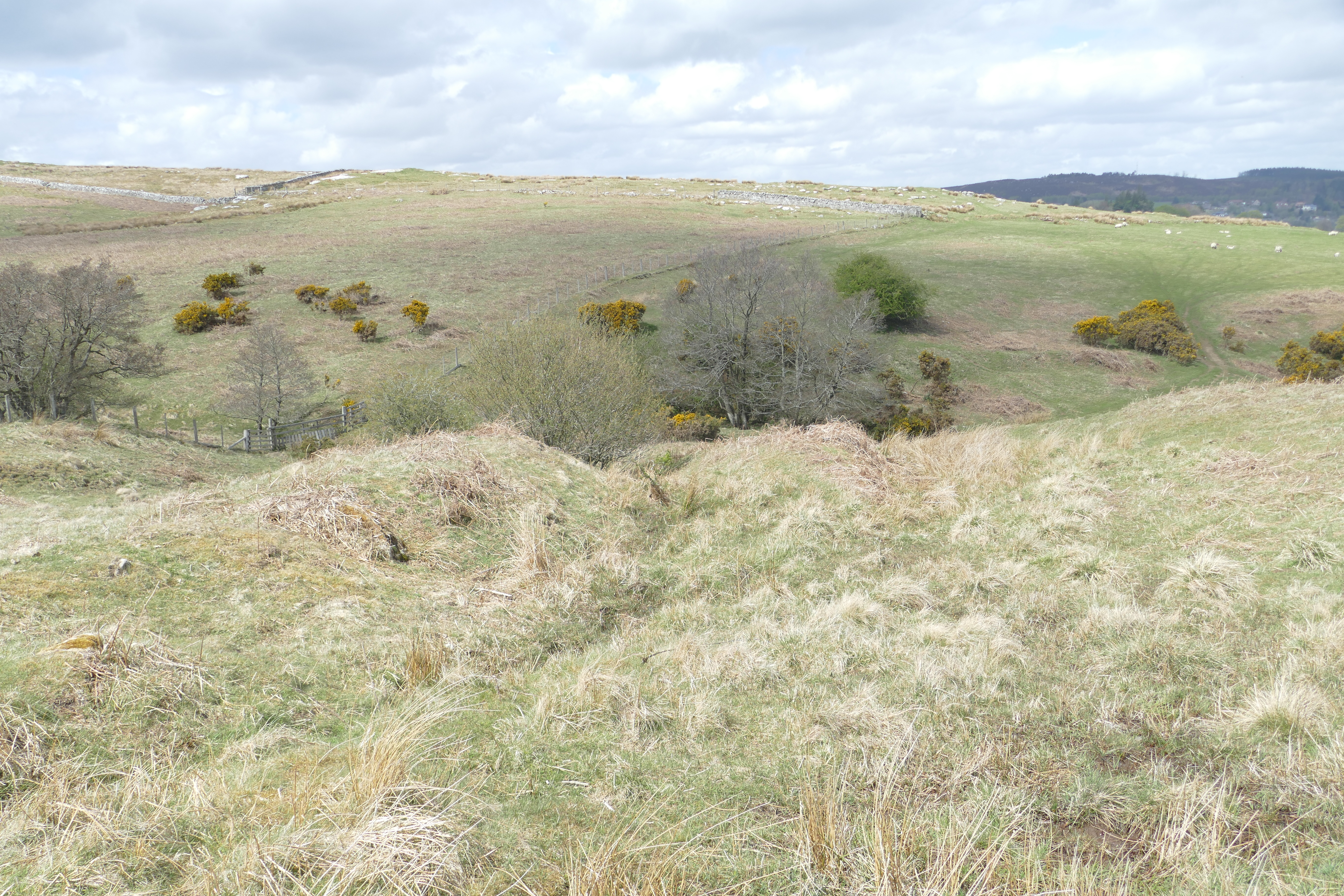
![Thumbnail of View of the north-west part of Holloway [209], from the south-east.](images/preview/57.jpg "Click to view View of the north-west part of Holloway [209], from the south-east. as a JPG image")
|
|||
| View of the north-west part of Holloway [209], from the south-east. | |||
|---|---|---|---|
| Filename | 57.jpg (10 MB) |
JPG |
Info
Download |
![Thumbnail of View of the south-east part of Holloway [209] from the south-east, with the position of [01] visible to top left.](images/preview/59.jpg "Click to view View of the south-east part of Holloway [209] from the south-east, with the position of [01] visible to top left. as a JPG image")
|
|||
| View of the south-east part of Holloway [209] from the south-east, with the position of [01] visible to top left. | |||
|---|---|---|---|
| Filename | 59.jpg (10 MB) |
JPG |
Info
Download |
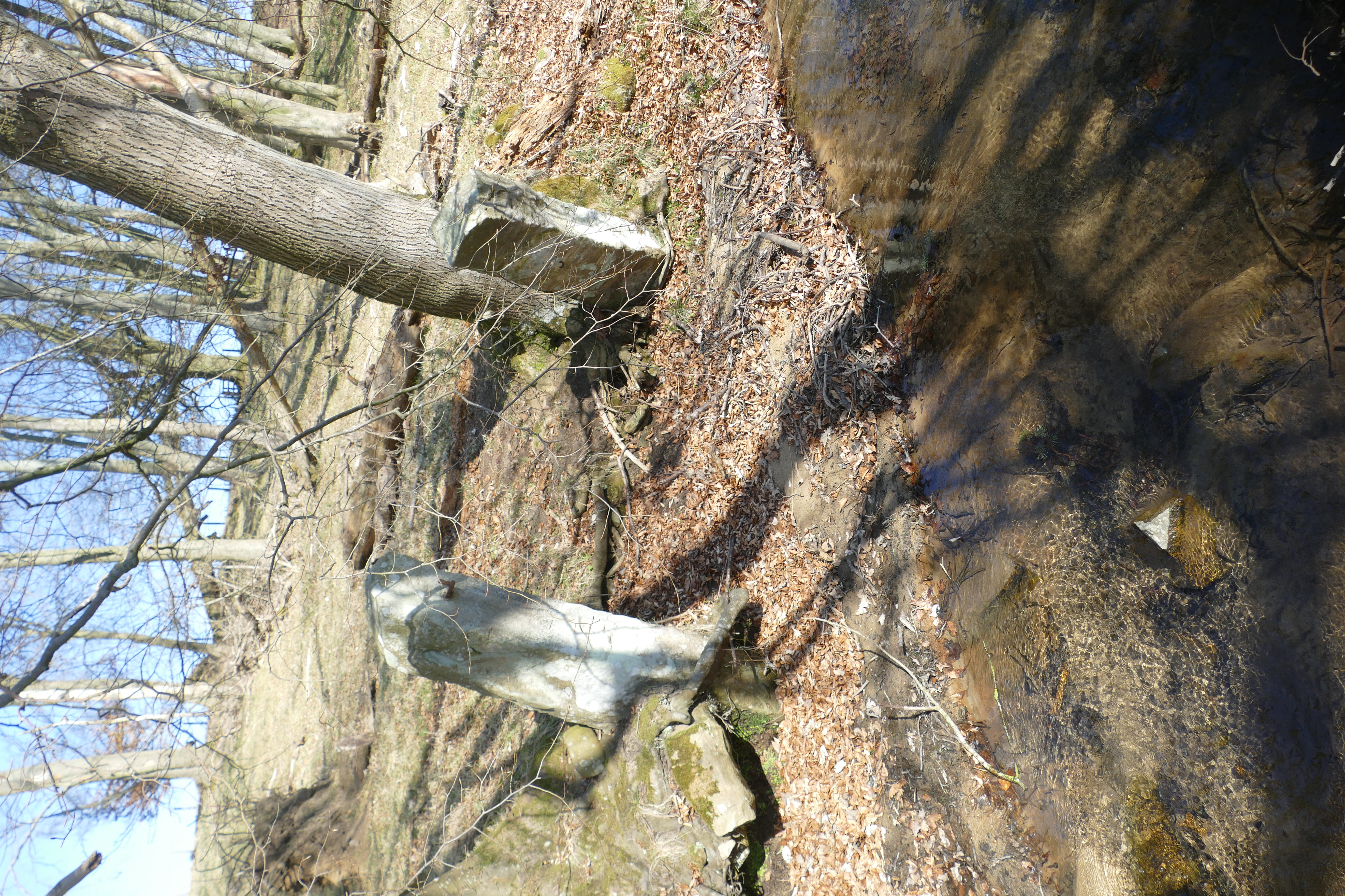
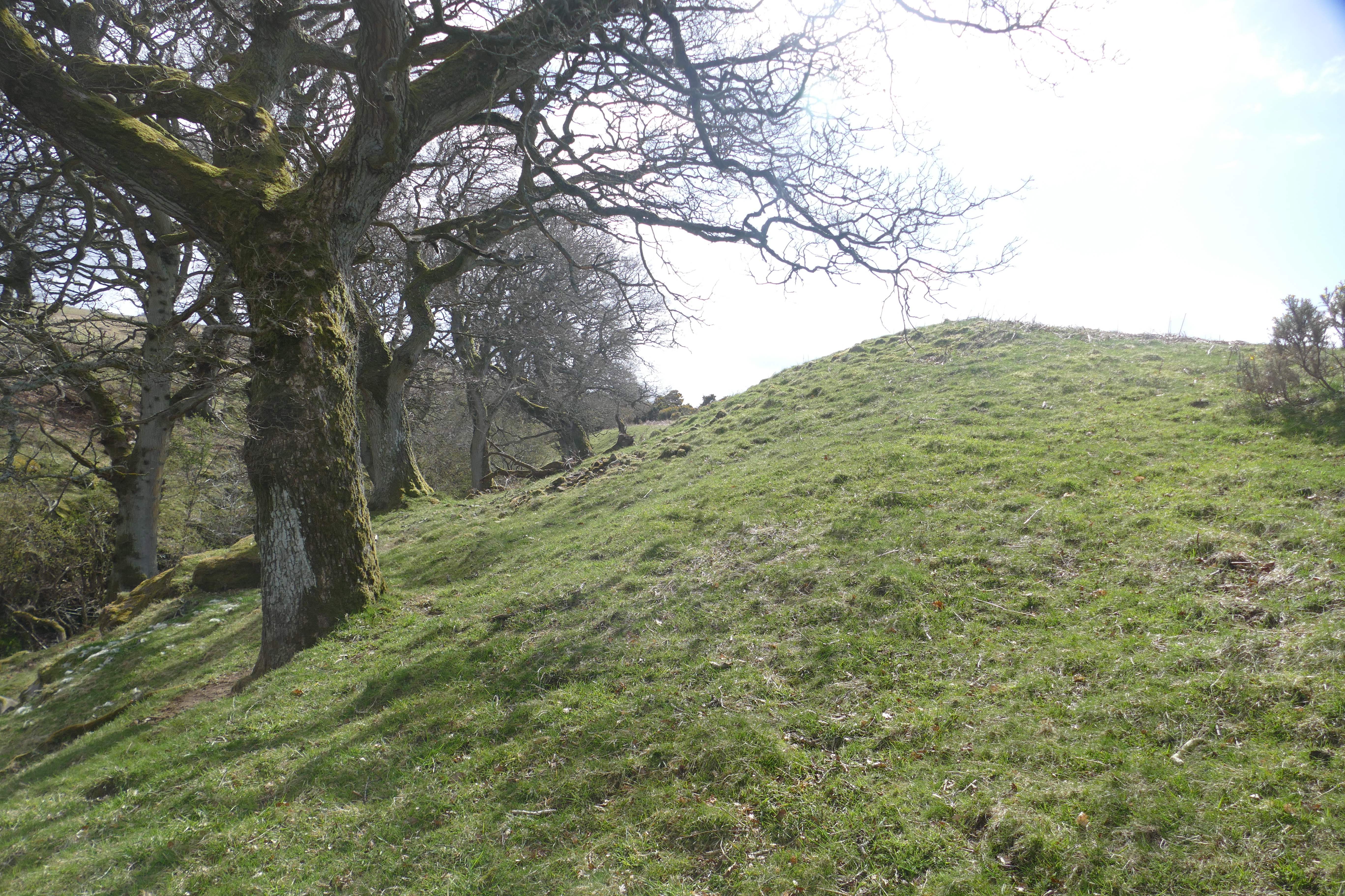
![Thumbnail of View of wall boundary feature [212] from the east.](images/preview/62.jpg "Click to view View of wall boundary feature [212] from the east. as a JPG image")
![Thumbnail of View towards the assessment site from Lordenshaws round cairn cemetery [24] with the southern edge of proposed planting Area 2 arrowed (Area 1 not visible), and Whitton village and Sharpe’s Folly visible to extreme right of view.](images/preview/80.jpg "Click to view View towards the assessment site from Lordenshaws round cairn cemetery [24] with the southern edge of proposed planting Area 2 arrowed (Area 1 not visible), and Whitton village and Sharpe’s Folly visible to extreme right of view. as a JPG image")
|
|||
| View towards the assessment site from Lordenshaws round cairn cemetery [24] with the southern edge of proposed planting Area 2 arrowed (Area 1 not visible), and Whitton village and Sharpe’s Folly visible to extreme right of view. | |||
|---|---|---|---|
| Filename | 80.jpg (2 MB) |
JPG |
Info
Download |
![Thumbnail of View towards the assessment site over Lordenshaws round cairn cemetery [24].](images/preview/79.jpg "Click to view View towards the assessment site over Lordenshaws round cairn cemetery [24]. as a JPG image")
|
|||
| View towards the assessment site over Lordenshaws round cairn cemetery [24]. | |||
|---|---|---|---|
| Filename | 79.jpg (3 MB) |
JPG |
Info
Download |

|
|||
| Views from the middle south part of Area 2: Enhanced view looking NE with Knocklaw at right of view. | |||
|---|---|---|---|
| Filename | 16.jpg (9 MB) |
JPG |
Info
Download |
![Thumbnail of Views from the middle south part of Area 2: View looking NE including pillbox site [68].](images/preview/17.jpg "Click to view Views from the middle south part of Area 2: View looking NE including pillbox site [68]. as a JPG image")
|
|||
| Views from the middle south part of Area 2: View looking NE including pillbox site [68]. | |||
|---|---|---|---|
| Filename | 17.jpg (10 MB) |
JPG |
Info
Download |

|
|||
| Views from the middle south part of Area 2: View looking NE over the Coquet valley. | |||
|---|---|---|---|
| Filename | 15.jpg (10 MB) |
JPG |
Info
Download |

|
|||
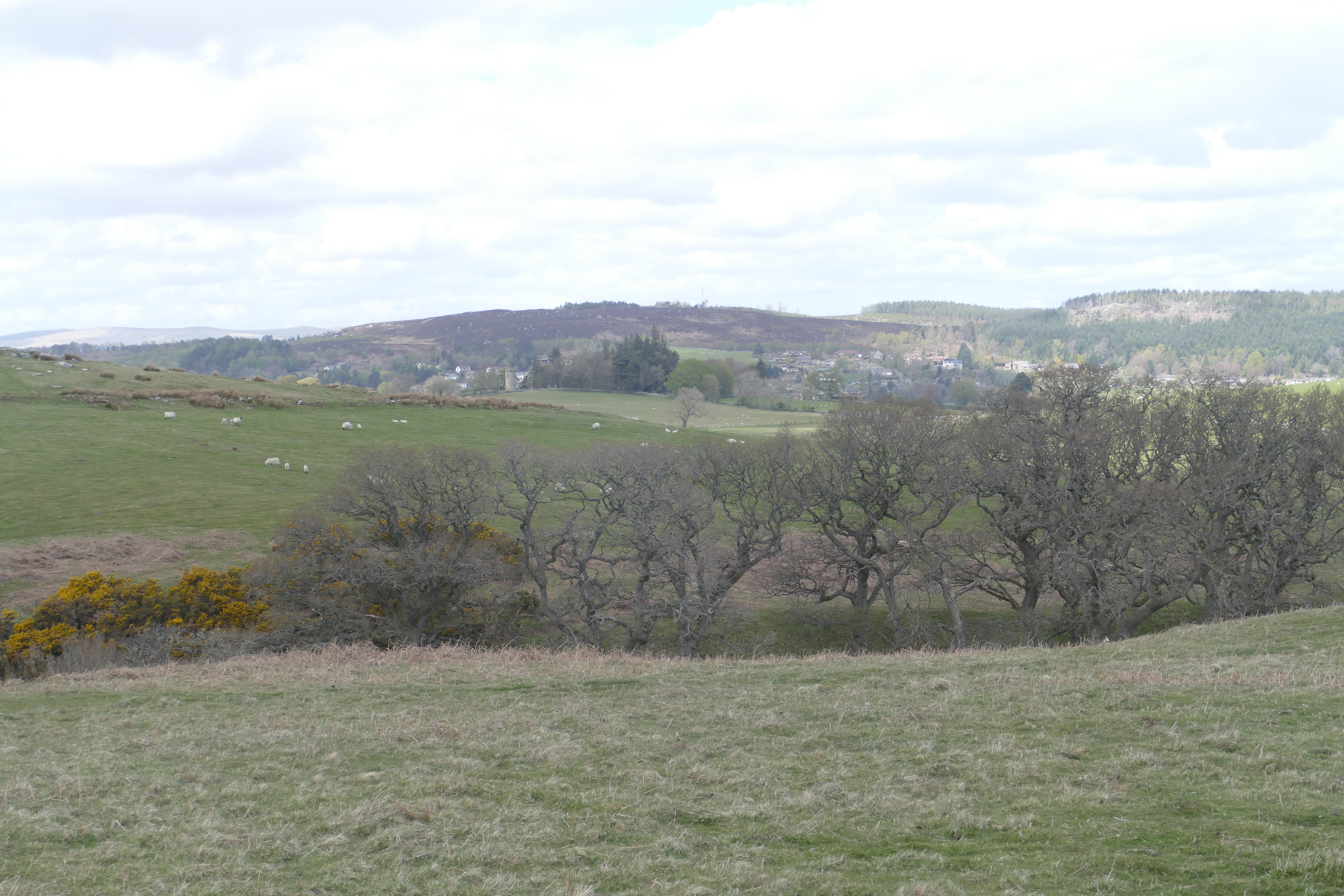
| Views from the middle south part of Area 2: View looking NW towards Whitton, with Rothbury and Pondicherry beyond. | |||
|---|---|---|---|
| Filename | 14.jpg (9 MB) |
JPG |
Info
Download |

|
|||
| Views from the middle south part of Area 2: View looking SE. | |||
|---|---|---|---|
| Filename | 18.jpg (10 MB) |
JPG |
Info
Download |
![Thumbnail of Views from the middle south part of Area 2: View looking west towards site [01] near centre of view.](images/preview/13.jpg "Click to view Views from the middle south part of Area 2: View looking west towards site [01] near centre of view. as a JPG image")
|
|||
| Views from the middle south part of Area 2: View looking west towards site [01] near centre of view. | |||
|---|---|---|---|
| Filename | 13.jpg (8 MB) |
JPG |
Info
Download |
. as a JPG image")
|
|||
| Views from the middle south part of Area 2: View to SW (Lordenshaws in centre of background). | |||
|---|---|---|---|
| Filename | 12.jpg (10 MB) |
JPG |
Info
Download |
. as a JPG image")
|
|||
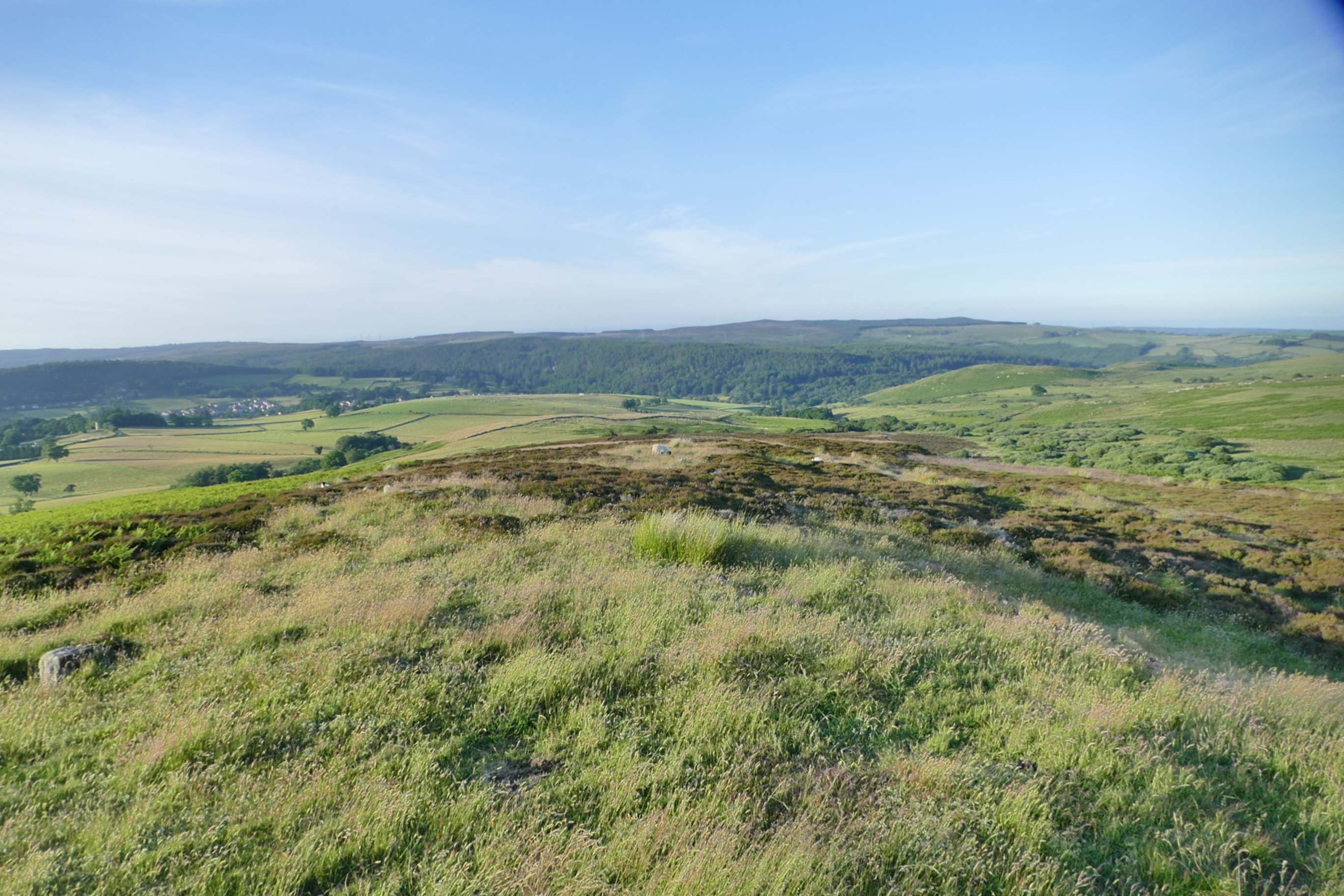
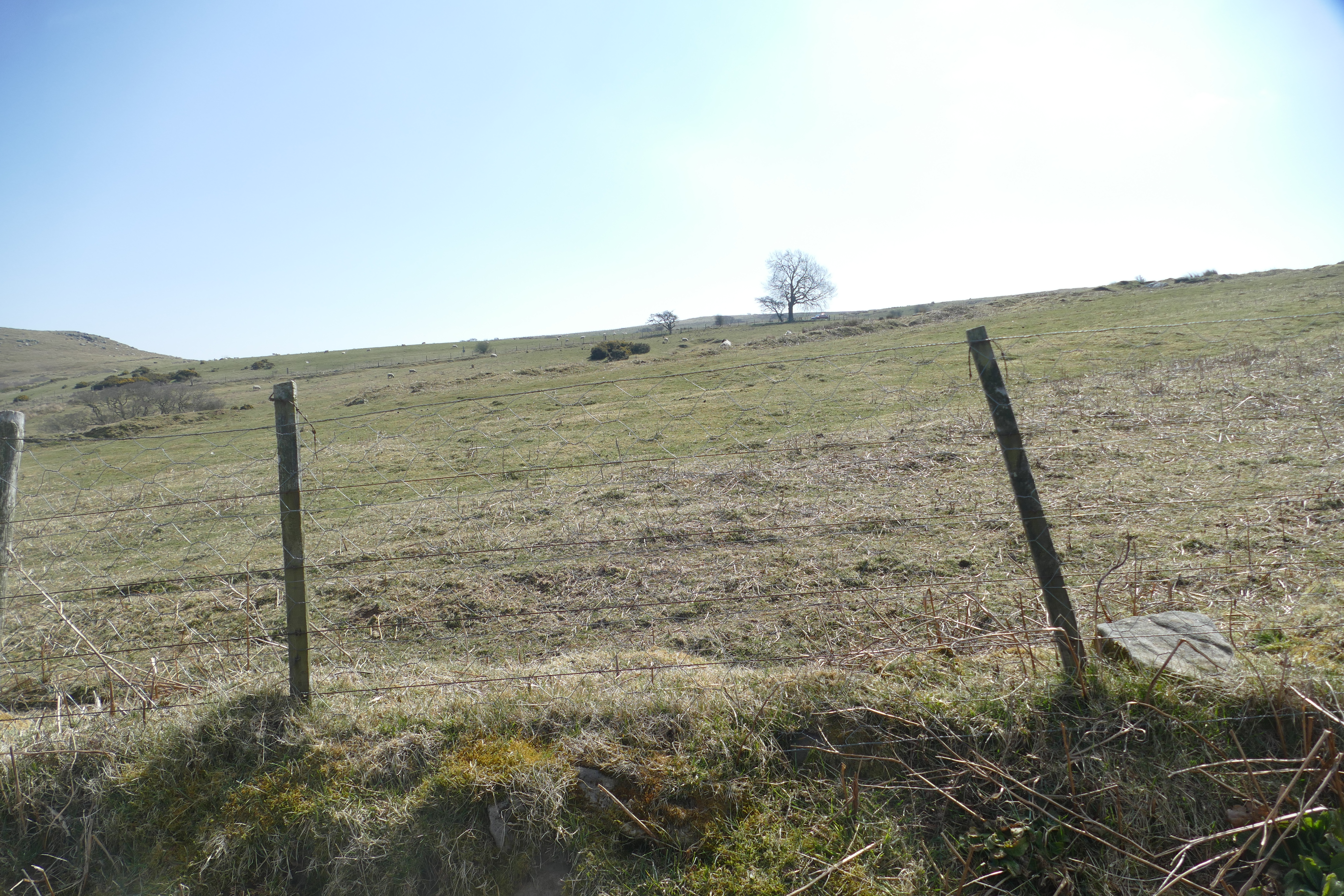
| Views from the west end of Area 1: Looking north to highest point (152 m). | |||
|---|---|---|---|
| Filename | 10.jpg (9 MB) |
JPG |
Info
Download |

|
|||
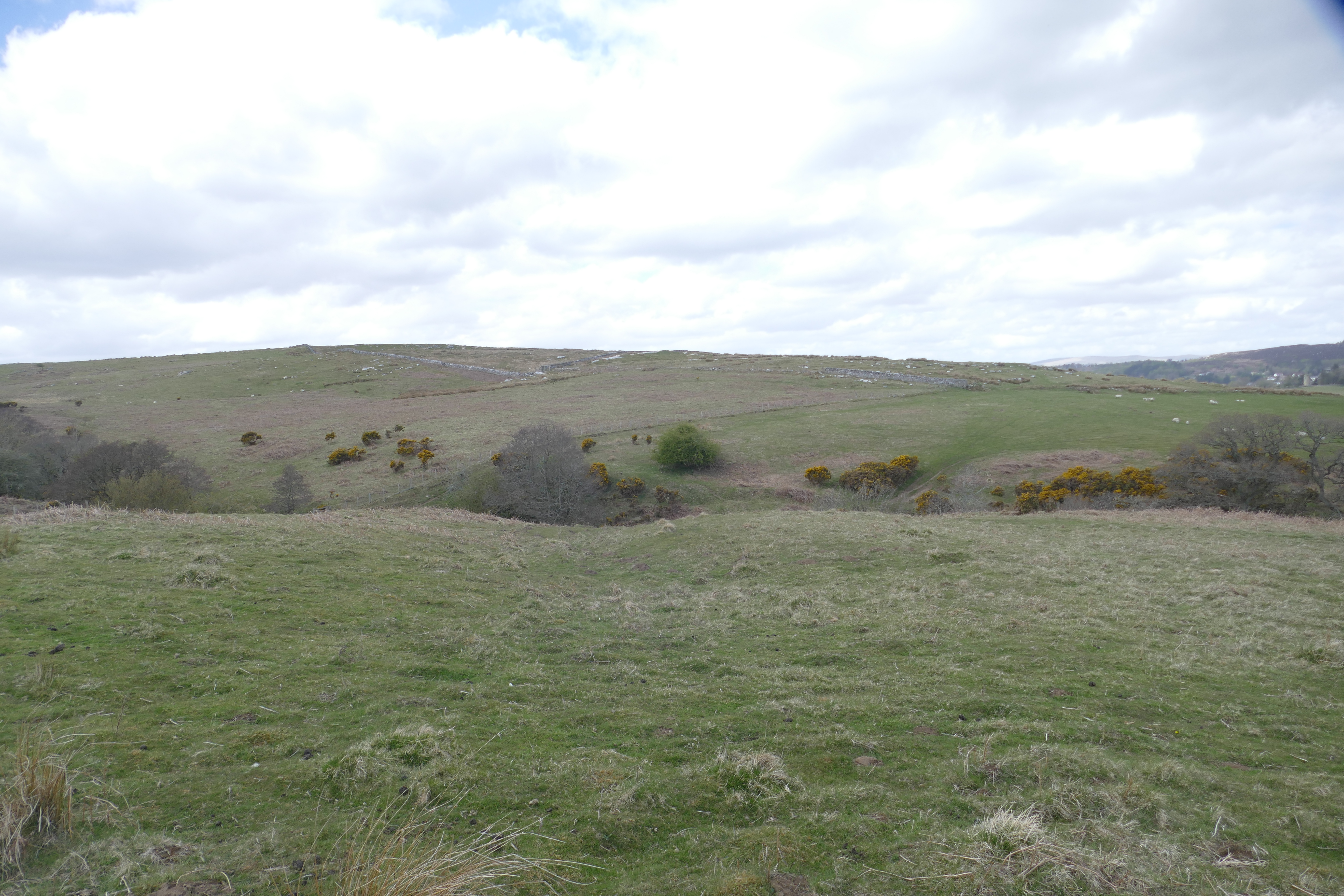
| Views from the west end of Area 1: Looking north-west from the south side of Area 1. | |||
|---|---|---|---|
| Filename | 08.jpg (10 MB) |
JPG |
Info
Download |

. as a JPG image")