Introduction
This collection comprises site data (an excavation report, images, GIS data and database files) from an archaeological excavation undertaken by Cotswold Archaeology in March and April, 2019, on c. 4,000m² of a development area off Taunton Road, Bishops Lydeard, Somerset.
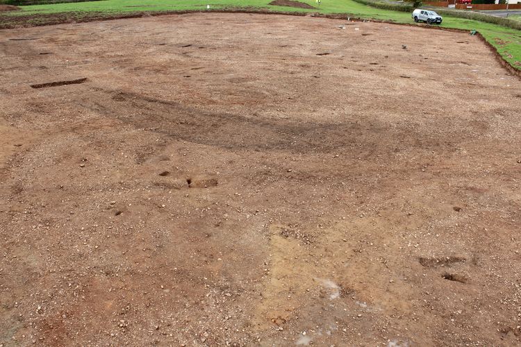
The excavation recorded an area of Late Bronze Age settlement, comprising a ditched, suboval enclosure which occupied high ground at the summit of a small ridge, overlooking the Quantock Hills to the north, the Blackdown Hills to the south and Exmoor National Park to the west. It contained the remains of three possible roundhouses and other associated features including pits. Three radiocarbon dates are statistically consistent and indicate a main period of occupation of the 9th century BC.
Material remains indicate that the landscape around the site was visited and utilised, probably from earlier prehistoric times until at least the Late Bronze Age period. There was a distinct lack of evidence for Iron Age or Roman-period activity on and around the site, but a probable storage pit was radiocarbon-dated to the later Saxon period of the late-8th to mid- 10th centuries. An undated, but probably prehistoric, rectilinear field system was also found.