Introduction
This collection comprises data from a GPS survey of the foreshore tidescape at Sandwich Bay. The project was focused on the substantial collection of timber fishtraps located there, accompanied by an extensive desk-based assessment of the history of static fishing in the area, carried out by CITiZAN's volunteers.
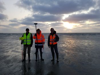
With a first site visit in 2018, then 9 fieldwork sessions over 2019-2022 CITiZAN staff and volunteers have recorded the remains of over 1100 small roundwood stakes studding 3.3km of foreshore at Sandwich. These form the remains of at least 42 keddle nets, a type of stake net, which in turn is a type of static fishtrap. Documentary research, oral history and radiocarbon dating suggest they may date from the mid-late 18th century into the early 20th century. The team's research has also revealed something of the lives of the people using them and, through consideration of the resources needed to construct the keddle nets, created a link between land and sea. We have also synthesised information on stake nets as a whole, a relatively under-researched fish trap type, and concluded that that the form and construction of stake nets across the UK is uniquely locally situated, influenced by a variety of factors including topography, available materials, tradition and intended catch.