Downloads
Excavation Photographs
Carlisle Northern Development Route (CNDR) Parcel 21 - Excavation Photographs
Files

|
|||
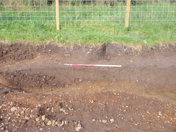
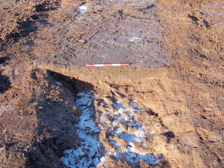
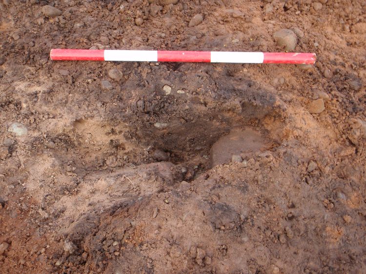
| Ditches 21053, 21055, Section 21030, 0.5m scale, N Direction | |||
|---|---|---|---|
| Filename | 21030.jpg (1 MB) |
JPG |
Info
Download |

|
|||
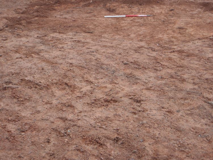
| Ditches 21053, 21055, Section 21030, 0.5m scale, N Direction | |||
|---|---|---|---|
| Filename | 21031.jpg (1 MB) |
JPG |
Info
Download |
|
|||
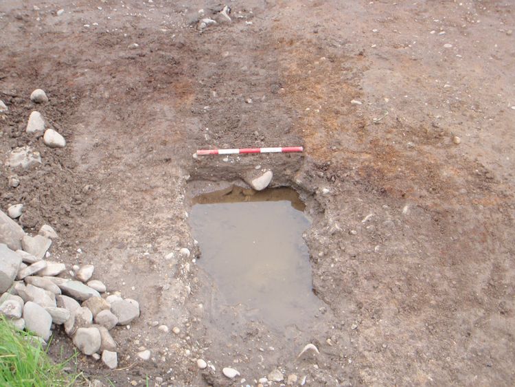
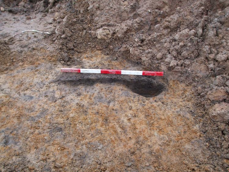
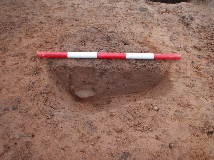
| E Facing Section Through Posthole 21393, 0.5m scale, W Direction | |||
|---|---|---|---|
| Filename | 21336.jpg (1 MB) |
JPG |
Info
Download |
|
|||
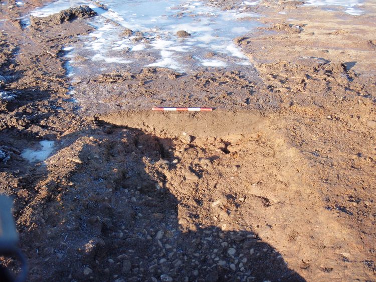
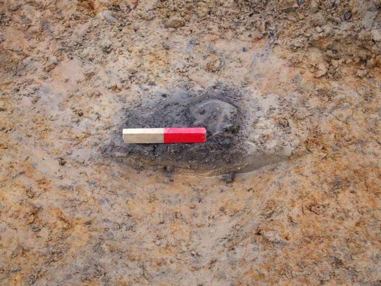
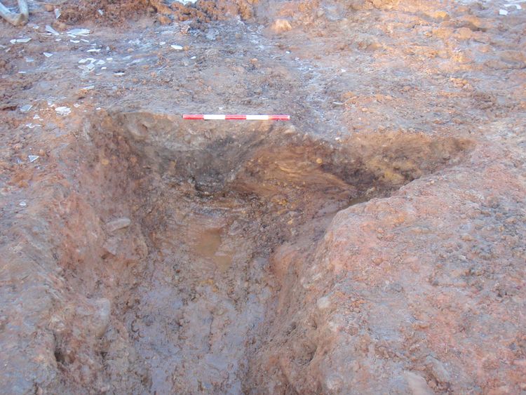
| E Facing Section of 21252 and 21271, 0.5m scale, W Direction | |||
|---|---|---|---|
| Filename | 21178.jpg (1 MB) |
JPG |
Info
Download |
|
|||
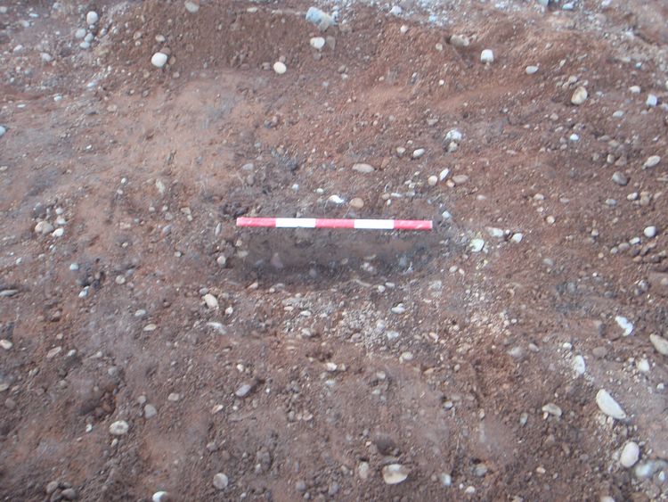
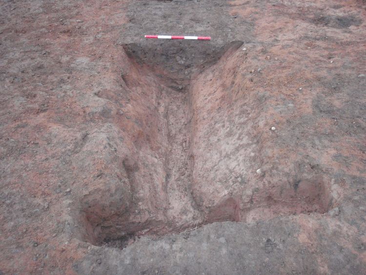
| E Facing Section of Ditch 21210, 0.5m scale, W Direction | |||
|---|---|---|---|
| Filename | 21136.jpg (1 MB) |
JPG |
Info
Download |

|
|||
| E Facing Section of Ditch 21210, 0.5m scale, W Direction | |||
|---|---|---|---|
| Filename | 21137.jpg (1 MB) |
JPG |
Info
Download |
|
|||
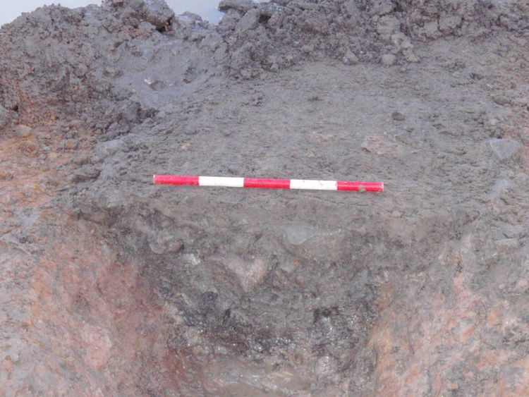
| E Facing Section of Ditch 21262, 0.5m scale, W Direction | |||
|---|---|---|---|
| Filename | 21173.jpg (1 MB) |
JPG |
Info
Download |
|
|||
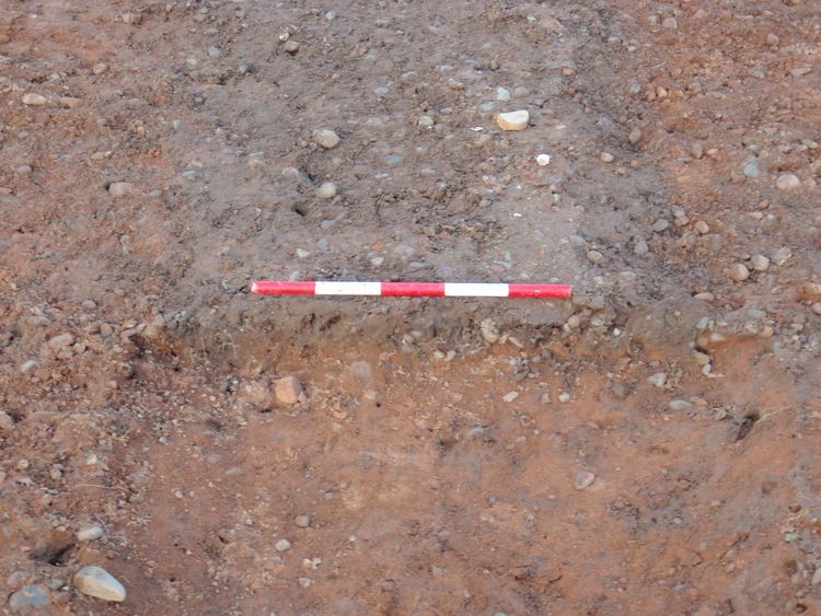
| E Facing Section of Gully or Hedgerow 21179, 0.5m scale, W Direction | |||
|---|---|---|---|
| Filename | 21124.jpg (1 MB) |
JPG |
Info
Download |

|
|||
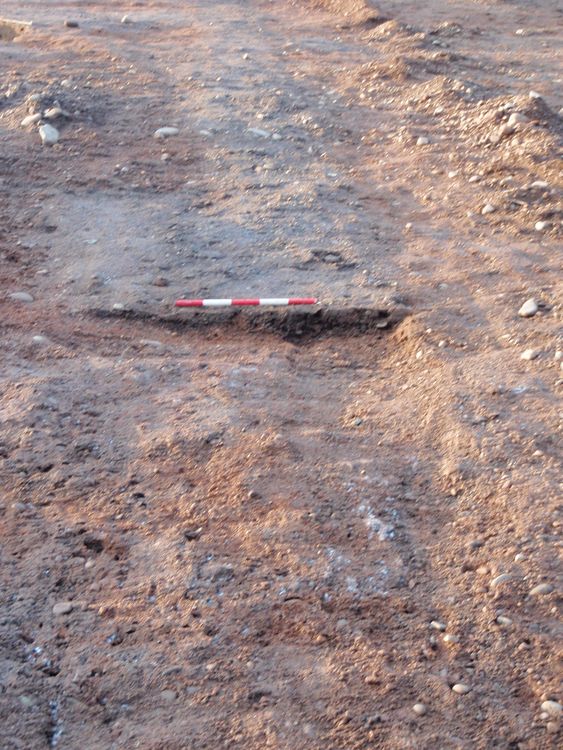
| E Facing Section of Gully or Hedgerow 21181, 0.5m scale, W Direction | |||
|---|---|---|---|
| Filename | 21125.jpg (1 MB) |
JPG |
Info
Download |
|
|||
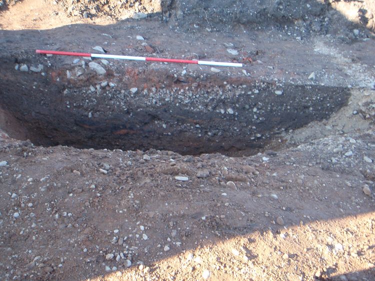
| E Facing Section of Hedgerow 21202, 0.5m scale, W Direction | |||
|---|---|---|---|
| Filename | 21146.jpg (1 MB) |
JPG |
Info
Download |
|
|||
| E Facing Section of Large Pit 21308, 2m scale, W Direction | |||
|---|---|---|---|
| Filename | 21195.jpg (1 MB) |
JPG |
Info
Download |
|
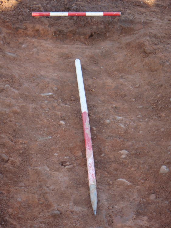
|||
| E Facing Section of Linear 21276, 1mx0.5m scale, W Direction | |||
|---|---|---|---|
| Filename | 21187.jpg (1 MB) |
JPG |
Info
Download |

