Downloads
Files
|
|||
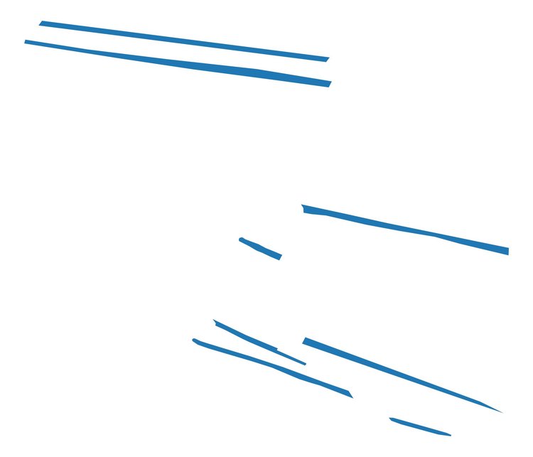
| GIS containing cleaned survey data of Furrows | |||
|---|---|---|---|
| Filename | 1N18STHAR_Furrow.zip (9 kB) |
ZIP |
Info
Download |
|
|||
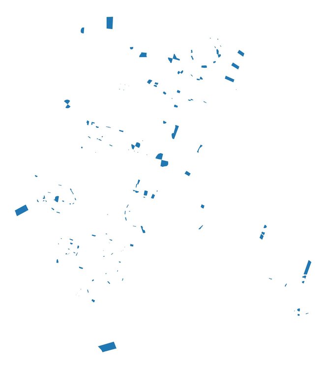
| GIS containing cleaned survey data of excavated interventions | |||
|---|---|---|---|
| Filename | 1N18STHAR_Excavated.zip (84 kB) |
ZIP |
Info
Download |

|
|||
| GIS containing cleaned survey data of the full extent of the unexcavated and excavated archaeological features | |||
|---|---|---|---|
| Filename | 1N18STHAR_Feature.zip (204 kB) |
ZIP |
Info
Download |

|
|||
| GIS containing partially cleaned survey data of Field Drains | |||
|---|---|---|---|
| Filename | 1N18STHAR_Field_Drain.zip (6 kB) |
ZIP |
Info
Download |
|
|||
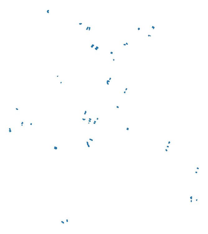
| GIS containing raw survey data of Break of slope of the excavated interventions | |||
|---|---|---|---|
| Filename | 1N18STHAR_Break_of_Slope.zip (22 kB) |
ZIP |
Info
Download |

|
|||
| GIS containing raw survey data of Drawing points | |||
|---|---|---|---|
| Filename | 1N18STHAR_Drawing_Points.zip (27 kB) |
ZIP |
Info
Download |

|
|||
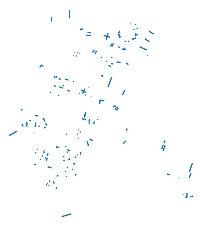
| GIS containing raw survey data of Intervetion edges | |||
|---|---|---|---|
| Filename | 1N18STHAR_Profile.zip (15 kB) |
ZIP |
Info
Download |
|
|||
| GIS containing raw survey data of Section Line locations | |||
|---|---|---|---|
| Filename | 1N18STHAR_Section_Line.zip (37 kB) |
ZIP |
Info
Download |

|
|||
| GIS containing raw survey data of Small Find locations | |||
|---|---|---|---|
| Filename | 1N18STHAR_Small_Find.zip (4 kB) |
ZIP |
Info
Download |

