Introduction
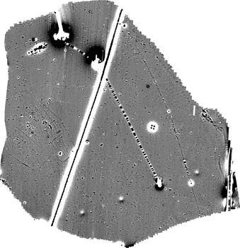
This collection comprises raw and processed geophysical survey data and georeferenced raster images from a magnetic gradiometer survey of c. 57ha of farmland at Anstey Lane, Groby, Leicestershire undertaken by MOLA Northampton in May 2022.
The magnetometer survey was undertaken with a cart-mounted array of Bartington Grad-01-1000L fluxgate gradiometers. Six clusters of archaeological remains were detected across the survey area. They chiefly comprised enclosures and ring ditches, with scatters of pits and at least one possible kiln also present. Some fragmentary ditches of unknown dates lay around the cores of activity. Evidence for medieval or post medieval ridge and furrow cultivation and later field drain systems was detected across the whole survey area. At least five buried utilities were also detected.