Introduction
This collection comprises data from a magnetometry survey at Cainhoe Castle, Clophill, Bedfordshire undertaken by SUMO Geosurveys in December 2022.
A temporary grid system was established over the site and marked out using canes. The location of the grid was set out using an RTK GPS system theoretically accurate to some 0.01m and referenced to OS co-ordinates. Data was collected using a cart carrying four paired Bartington magnetic sensors. Four sensors mounted 1m horizontally apart and very accurately aligned to nullify the effects of the earth's magnetic field. Readings relate to the difference in localised magnetic anomalies compared with the general magnetic background. Each data point is geographically referenced using an on-board Trimble RTK survey grade GPS system. Readings were taken at 0.125m centres along traverses 1.0m apart. Readings relate to the difference in localised magnetic anomalies compared with the general magnetic background.
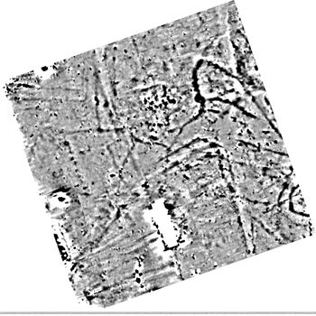
In Site 1 the survey has detected a large range of archaeological responses; strong and sinuous ditch-like anomalies appear to be associated with the earlier motte and bailey while weaker rectilinear responses could relate to later phases of activity. No responses, other than ditches, have been recorded which relate to the conjectural manorial site, perhaps suggesting that the feature may have been a simple enclosure, possibly for stock, or a garden and that it was never occupied. Some 40m north of this location magnetic anomalies may indicate the presence of a building; perhaps comprising timber slots and post-holes, although this interpretation is tentative.
At Site 2 there are no anomalies of definite archaeological interest; however, a number of responses of uncertain origin are present. The results confirm that the quarrying recorded north of the site does not extent as far south as Site 2 as no ground disturbance is visible in the data. A number of weak responses of archaeological interest are visible in Site 3 which correspond with cropmarks that are recorded in the HER. The survey has also confirmed quarrying debris does not extend into this area. Numerous magnetic responses of probable and possible archaeological interest have been detected in Site 4. While no archaeological remains are recorded in the HER in this location, it appears that the survey has detected medieval land parcels and possibly associated industrial activity. However, some of the responses could also be due to dredging of the adjacent river.