Introduction
This collection comprises the geophysical survey data in raw and processed form from a magnetometry survey undertaken by Mola Northampton on 6th June 2023 on land at Station Lane, Millbrook, Bedfordshire. The survey data is accompanied by the resulting georeferenced raster plots of processed data, as well as documentation files including information on the MGR file format and an archive summary or overview.
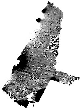
The Magnetometer survey was undertaken with a cart-mounted array of Bartington Grad601 fluxgate gradiometers. The survey identified boundary ditches of small plots probably linked to the medieval village of Marston Pillinge. Medieval to post-medieval ridge and furrow as well as a modern utility were also detected.