
Introduction
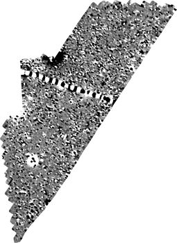
This collection comprises geophysics and GIS data from an archaeological geophysical survey by MOLA Northampton of part of a proposed pipeline route that extends north-east from HMP Gartree to Foxton Sewage Treatment Works, Leicestershire.
The purpose of the survey was to identify and map any archaeological remains that may be affected by the pipe-laying works.
The survey comprised a magnetometer survey and was conducted over three nonconsecutive days between 29th July and 16th August 2022. The survey covered a 30m wide corridor over a distance of c2km, with some extensions to cover proposed compounds, layout areas and drilling pits. The southern portion of the route was not surveyed, due to a previous survey having occurred.
The survey detected several short positive linear anomalies which may represent features of archaeological potential but are too scattered and fragmented to interpret with confidence. It also detected a small area of ridge and furrow, two historic field boundaries, two buried utilities and the remains of some Second World War era ‘spectacle’-type dispersal pans associated with Market Harborough Airfield.