Introduction
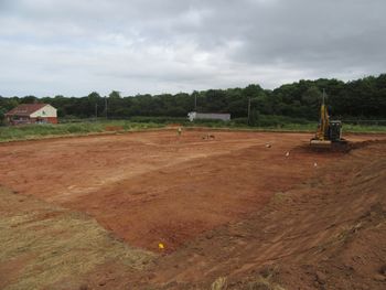
This collection consists of images, spreadsheets, databases and site record data from an archaeological excavation by Cotswold Archaeology, of Land North of Dawes Farm, Bridgwater, Somerset in July 2018. An area of 0.4 hecters was excavated.
Archaeological features were found across the site. The earliest were two pits, one radiocarbon dated to 1204-990 calibrated BC, a Late Bronze Age range extending into the latter part of the Middle Bronze Age, the other to 755-416 calibrated BC, which falls within the Early Iron Age.
An L-shaped enclosure associated with postholes lacked dating evidence but is comparable to Middle Bronze Age enclosures found elsewhere, and this dating might also apply to a hollow-way found on the site. These remains may have formed part of the nearby Bridgwater Gateway enclosure system found to the west and perhaps relate to livestock management alongside the River Parrett, 1.75km distant. There was a single possible Roman grave, but no bone survived due to the acidic soils. Later remains comprised medieval or later field boundary ditches.