
Introduction
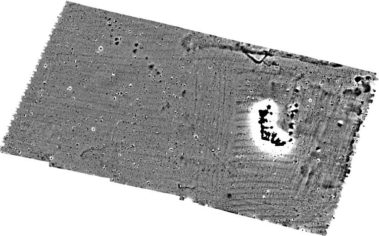
This collection consists of geophysical data and GIS data from a geophysical survey at Pury End, Towcester, Northamptonshire. The survey was conducted by MOLA Northampton between 2018 and 2024.
The survey was conducted in two phases, with the 2018 works being attached to a desk based assessment and the latter being a standalone survey. The 2018 works detected an L-shaped section of ditch likely to represent an Iron Age or Roman enclosure, linear anomalies from possible ditches and widespread evidence of medieval ridge and furrow cultivation. The 2024 survey detected several ditches probably forming parts of two separate enclosures as well as a long section of ditch which perhaps forms part of a wider field system. Several pit-like features were also detected, many concentrated in clusters. Medieval ridge and furrow was detected across much of the survey area, but, along with some of the archaeological features, has been truncated by areas of post-medieval quarrying.