Introduction
This collection comprises a report, images, geophysics data, and GIS files from a geophysical service carried out by AOC Archaeology Group at Feering, Essex from May to June 2024.
AOC Archaeology Group was commissioned by WSP on behalf of The Crown Estate to undertake an archaeological geophysical survey, using the magnetic gradiometry method to investigate the potential for buried archaeological remains prior to a proposed development of land at Feering, Colchester, Essex centred at NGR TL 87564 19592.
The survey area consists of four separate parcels located directly to the north, east and south of the village of Feering. It totals 56.7Ha over largely flat arable areas. The majority of the parcels have been surveyed and total approximately 54.42ha. The survey utilised a cart based, ATV towed survey utilising a SENSYS Heavy duty MX cart, with a Carlson BRx7 dGPS, and 16 FGM650/3 gradiometers at 25cm traverse separation and 20Hz sampling frequency.
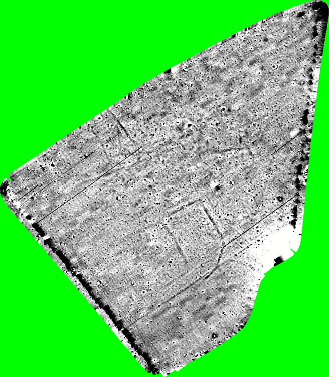
The survey has been successful in locating the presence of anomalies of a possible archaeological origin in Parcel B of the survey. These anomalies are interpreted as relating to potential settlement or funerary activity from a range of potential periods from later prehistory to the early Middle Ages.