Digital Object Metadata
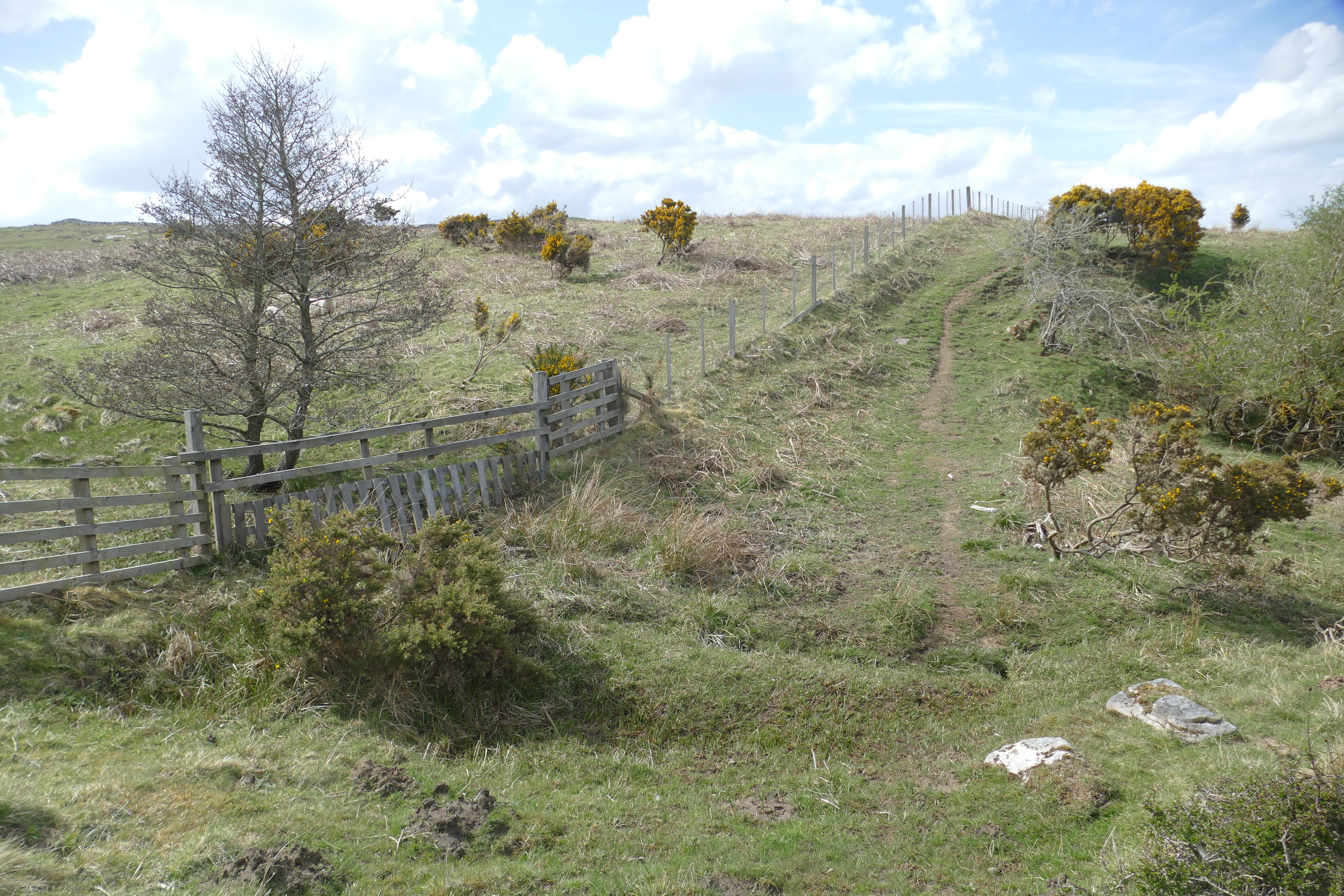
View of field boundary [220] forming the south-west boundary of Area 2.
Object ID: 1979280
![Preview of View of field boundary [220] forming the south-west boundary of Area 2.](1004148/images/preview/71.jpg "Click to view View of field boundary [220] forming the south-west boundary of Area 2.")
Digital Object Information
| Object ID | 1979280 |
|---|---|
| Title | View of field boundary [220] forming the south-west boundary of Area 2. |
| Year Created | 2021 |
| Creation Dates | |
| Start date: 11-May-2021 | |
| Creator |
|
Access and Rights
| Cite as | Carlton, R., (2021) View of field boundary [220] forming the south-west boundary of Area 2. [digital object]. York: Archaeology Data Service [distributor]. Object ID: 1979280 |
|---|---|
| Copyright |
|
| Licence | This work is licensed under a Creative Commons Attribution 4.0 International License. |
| Primary Contact |
The Archaeological Practice Westmorland House Elswick East Terrace Newcastle upon Tyne NE4 7LJ UK Email: [email protected] |
| Metadata Contact | ADS: [email protected] |
Content and Subject Information
| Data Type | Image |
|---|---|
| Language |
|
| Subject | Field survey views |
| Whitton Farm | |
| Periods | Neolithic |
| 19th century | |
| Period Dates |
|
| Location | Northumberland |
| Whitton Farm | |
| Coordinates | OSGB: 406530 600180 |
File Information
| File name | 71.jpg |
JPG |
Download File |
|---|---|---|---|
| Format | JPG | ||
| Format type | Raw JPEG Stream | ||
| File size | 10.4 Mb | ||
| Checksum | 5dc2c75bead1e94988839c132446e1a9 | ||
| Last modified | 14-Sep-2021 |
Relationships
| This Object is from Collection | Images from a Desk Based Assessment and Field Survey at Whitton Farm, Rothbury, Northumberland 2021 |
|---|
Archived Metadata for Download
Download the metadata file(s) for this object, submitted as part of the collection. Please note that this deposited metadata may also contain metadata for associated files, or files of the same data type from this collection.
| Image metadata | |||
|---|---|---|---|
| Filename | ADS_raster_metadata_template.csv (29 Kb) |
CSV |
Info
Download |