Digital Object Metadata
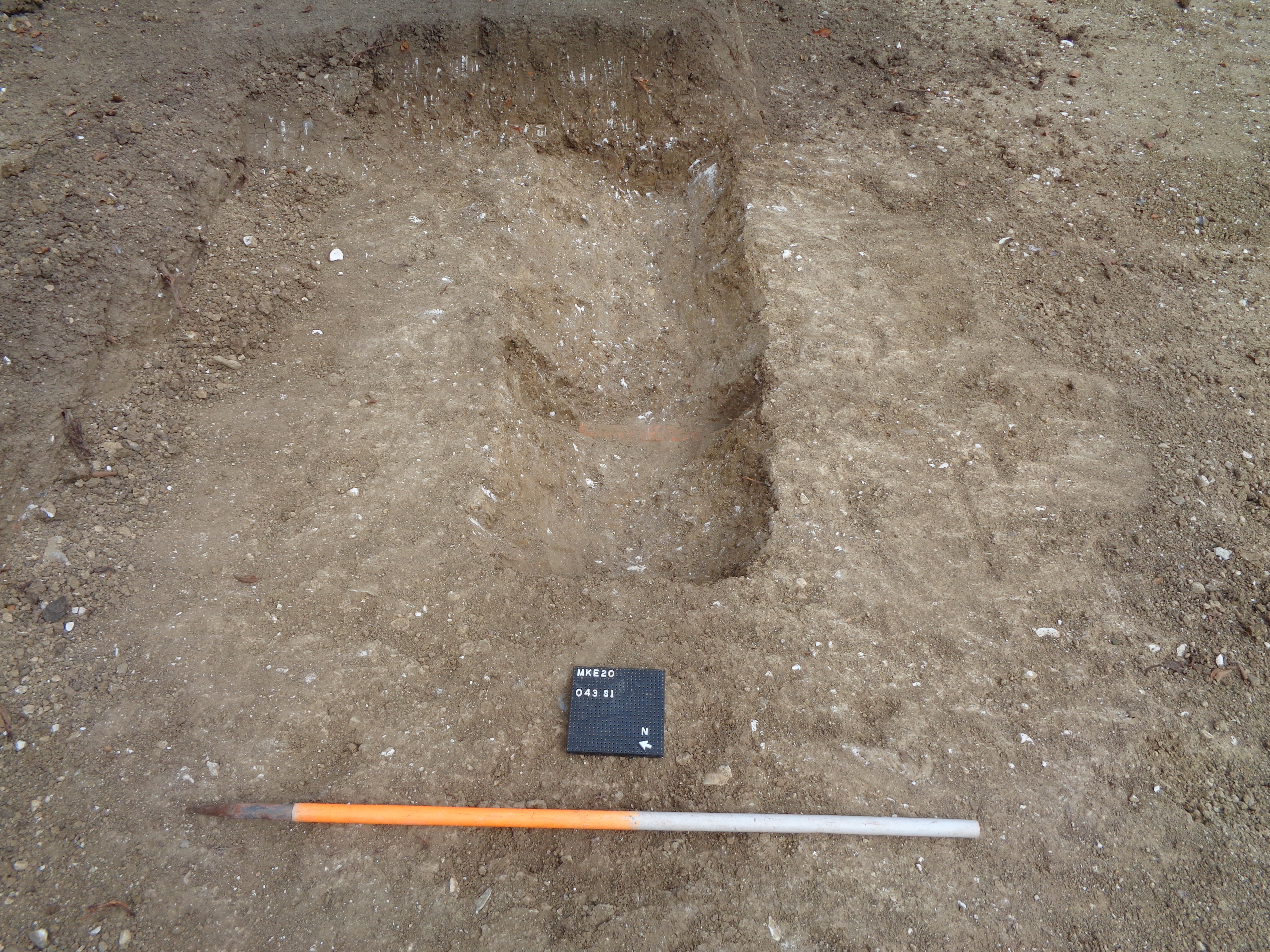
Plan shot of [043] and land drain
Object ID: 2865115
![Preview of Plan shot of [043] and land drain](1006875/images/preview/DSC02040.jpg "Click to view Plan shot of [043] and land drain")
Digital Object Information
| Object ID | 2865115 |
|---|---|
| Title | Plan shot of [043] and land drain |
| Year Created | 2024 |
| Creation Dates | |
| Start date: 07-Sep-2020 | |
| Creator |
|
Access and Rights
| Cite as | Border Archaeology, (2024) Plan shot of [043] and land drain [digital object]. York: Archaeology Data Service [distributor]. Object ID: 2865115 |
|---|---|
| Copyright |
|
| Licence | This work is licensed under a Creative Commons Attribution 4.0 International License. |
| Primary Contact |
Border Archaeology Border Archaeology Email: [email protected] The Plaza Owen Way Leominster Enterprise Park Leominster HR6 0LA UK |
| Metadata Contact | ADS: [email protected] |
Content and Subject Information
| Data Type | Image |
|---|---|
| Language |
|
| Subject | Excavation |
| Periods | Roman |
| Location | Monks Eleigh Controlled School Churchfield Monks Eleigh Babergh Suffolk |
| Coordinates | OSGB: 596390 247740 |
File Information
| File name | DSC02040.jpg |
JPG |
Download File |
|---|---|---|---|
| Format | JPG | ||
| Format type | Exchangeable Image File Format (Compressed) (v. 2.3.x) | ||
| File size | 7.95 Mb | ||
| Software | Sony | ||
| Software version | DSC-W830 | ||
| Checksum | 501ec46d01922090714c370575137c3f | ||
| Last modified | 14-Aug-2024 |
Relationships
| This Object is from Collection | Data from an Archaeological Excavation at Monks Eleigh Controlled School, Churchfield, Monks Eleigh, Babergh, Suffolk, August-October 2020. |
|---|
Archived Metadata for Download
Download the metadata file(s) for this object, submitted as part of the collection. Please note that this deposited metadata may also contain metadata for associated files, or files of the same data type from this collection.
| Image metadata | |||
|---|---|---|---|
| Filename | Monks_Eleigh_ADS_raster_metadata_template.xlsx (23 Kb) |
XLSX |
Info
Download |