Many moons ago, the ADS decided that it was going to try and increase its social media presence. To this end, we started tweeting, and posting, and doing all sorts of social media like things. From this, we began experimenting with the world of hashtags and found ourselves interacting with #Archive30. It was through this trend of talking about a different thing from our archive and work that we came to the day of outreach.
Now outreach can mean something different to each person. According to Google’s dictionary it means ‘an organization’s involvement with or influence in the community, especially in the context of religion or social welfare.’ So we were at conundrum. How would we, an organization dedicated to the preservation of digital data going to show our many followers (who I’m sure were waiting with bated breath) that we left our offices every once in a while?
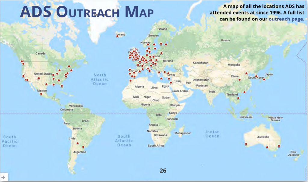
Well, if there is one thing that I enjoy, it’s a good old visualization of information. And that is how the lovely map below was made.
This map is rather special because it not only shows the reach that the ADS and Internet Archaeology have managed over the years, but it also reinforced our commitment to providing open source data and the partnerships that were created throughout the world in pursuit of that goal.
It can be so easy to get carried along in everything that is done that we can forget that in 22 years we have given over a 1000 presentations, written over 150 papers, and visited more than 30 countries. We may be a little team, but we’ve done a lot.
This map is interactive so feel free to explore (some locations even have presentations available for download)!


