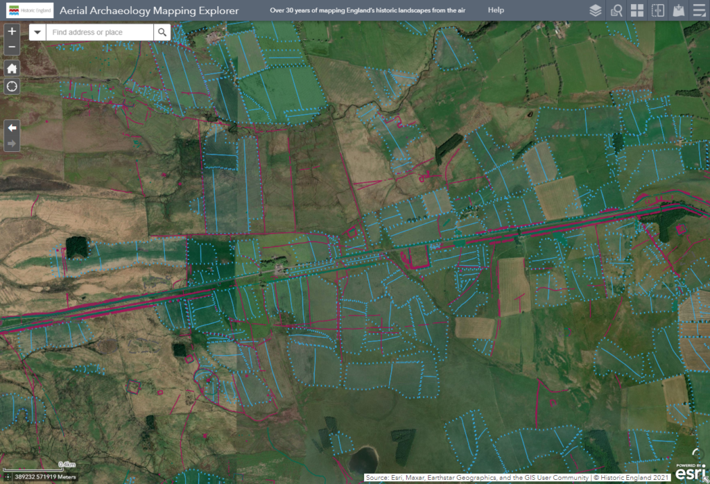
Back in July Historic England launched the Aerial Archaeology Mapping Explorer, allowing users for the first time to explore all of the aerial mapping data that HE have collected over the last 30 years.
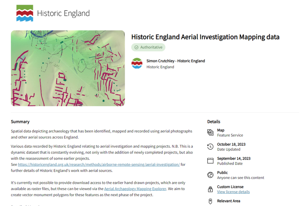
Now Historic England has made this spatial data available for you to download to use in your own research! You can download these datasets for free from the Historic England Open Data Hub, a source for open access spatial data from Historic England. The dataset is available in a variety of formats including as a shapefile, a csv file, a geodatabase and more. Find out more about the Aerial Archaeology mapping tool and Open Data Hub below.
This is a fantastic dataset that has potential for use in many ways. We at the ADS are excited to see this dataset available as open access for all to use. Tim (our Deputy Director) says:
“I’m thrilled to see all this data online and freely available, and I can envisage a myriad of reuse cases. The ADS team are looking at ways we can reuse these resources to enhance our next generation of mapping interfaces for current and future projects.”

Historic England Aerial Archaeology mapping tool
The Aerial Archaeology Mapping Explorer tool allows users to view archaeology that has been identified, mapped and recorded using aerial photographs and other aerial sources across England. For the first time ever, Historic England has made the results of over 30 years of aerial photograph mapping projects freely available online via this tool.
Explore the Aerial Archaeology mapping tool to explore heritage from ancient settlements to secret Cold War military installations, or to see the complex archaeological landscapes of Hadrian’s Wall, Stonehenge and more. Download the instruction manual for more details about how to use the mapping tool.
Historic England Open Data Hub
The Historic England Open Data Hub also contains a number of other heritage geospatial datasets including the National Heritage List for England and Heritage at Risk register. Each of these datasets are available for free under a Open Government Licence with an attribution to the original dataset.


