Overview
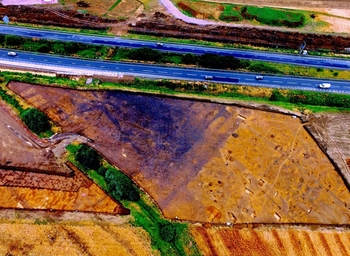
© A14C2H courtesy of MOLA Headland Infrastructure
This collection contains detailed records for the Alconbury Landscape Block. For scheme-wide data and documents, please return to the main A14 Cambridge to Huntingdon archaeological project archive. This collection will feature:
- Introduction to the Alconbury landscape block
- Overview of the outputs
- Downloads, including archaeology and specialist reports, photos, drawings, context sheets, GIS layers, and specialist database outputs
- Query interface to search the project database in detail
- Metadata
- Usage statistics
The physical archive for Alconbury, including artefactual and environmental material and the paper records, is managed by the Cambridgeshire Historic Environment Team (CHET) in Cambridgeshire County Council’s publicly accessible, accredited storage facility. The digital archive is linked to the CHET physical archive by the following ECB numbers: ECB 4844 (TEA 2); ECB 4845 (TEA 3); ECB 4846 (TEA 4); ECB 5160 (TEA 5).