Digital Object Metadata
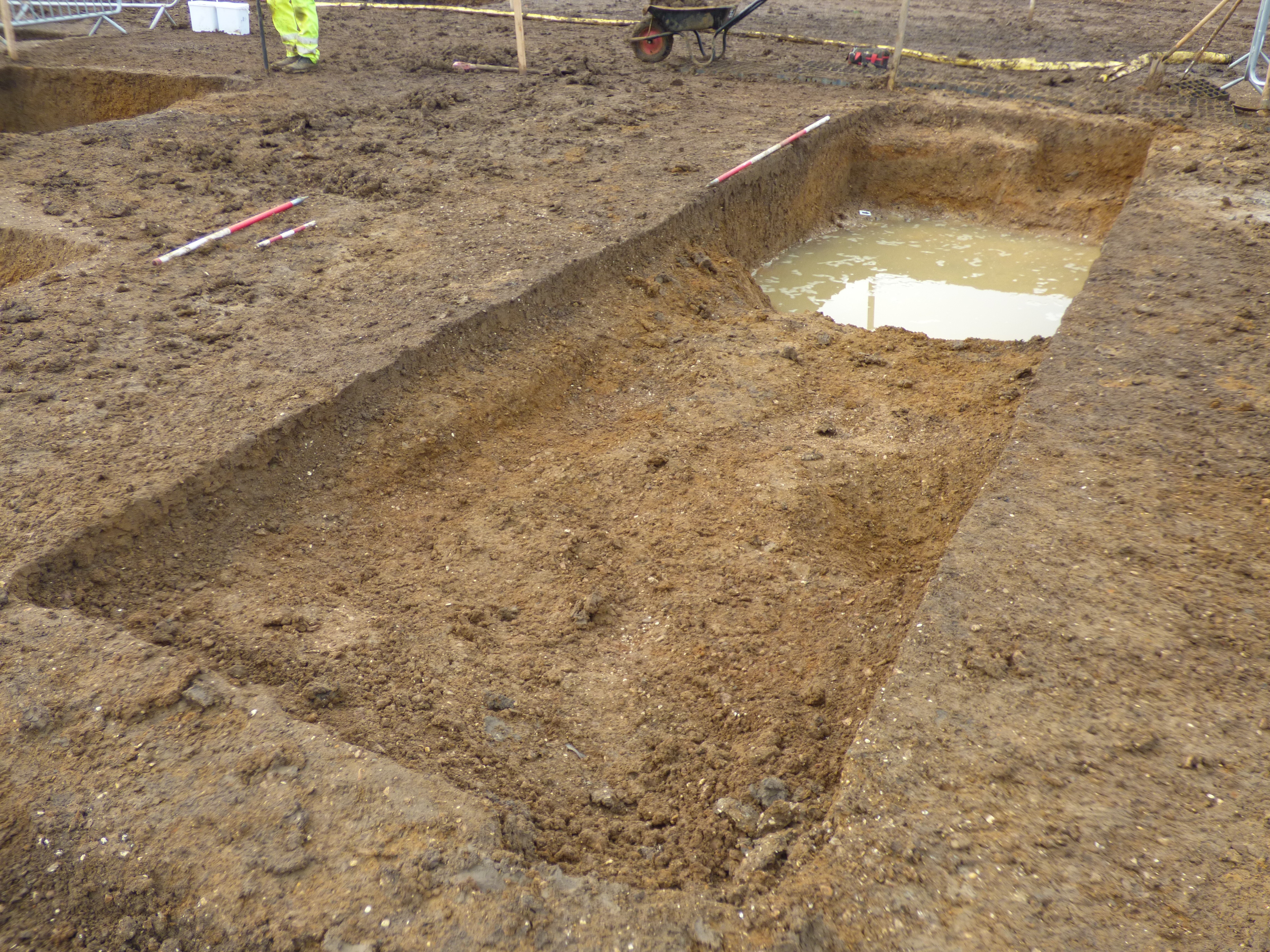
Photograph of general, facing south. Parent context shown 53852. Recorded from the excavations at A14 Cambridge to Huntingdon, Alconbury Landscape Block, Cambridgeshire, England.
Object ID: 2657514

Digital Object Information
| Object ID | 2657514 |
|---|---|
| Title | Photograph of general, facing south. Parent context shown 53852. Recorded from the excavations at A14 Cambridge to Huntingdon, Alconbury Landscape Block, Cambridgeshire, England. |
| Creator |
|
Access and Rights
| Cite as | Photograph of general, facing south. Parent context shown 53852. Recorded from the excavations at A14 Cambridge to Huntingdon, Alconbury Landscape Block, Cambridgeshire, England. [digital object]. York: Archaeology Data Service [distributor]. Object ID: 2657514 |
|---|---|
| Copyright |
|
| Licence | This work is licensed under a Creative Commons Attribution 4.0 International License. |
| Primary Contact |
MOLA Headland Infrastructure Mortimer Wheeler House 46 Eagle Wharf Road London N1 7ED UK Tel: 020 7410 2285 Fax: 020 7410 2201 Email: [email protected] |
| Metadata Contact | ADS: [email protected] |
Content and Subject Information
| Data Type | Image |
|---|---|
| Language |
|
| Subject | Ditch |
| Periods | Middle-Late Iron Age |
| Period Dates |
|
| Location | Alconbury Landscape Block |
| England. | |
| Cambridgeshire | |
| Coordinates | OSGB: 519030 273560 |
File Information
| File name | A14-TEA05-PN0580807.jpg |
JPG |
Download File |
|---|---|---|---|
| Format | JPG | ||
| Format type | Exchangeable Image File Format (Compressed) (v. 2.3.x) | ||
| File size | 6.01 Mb | ||
| Checksum | 84a9de93e8374453ed7e341a1b506d55 | ||
| Last modified | 13-Jun-2018 |
Relationships
| This Object is from Collection | A14 Cambridge to Huntingdon Improvement Scheme: Digital Archive for Archaeological Works at Alconbury Landscape Block, 2016-2018 |
|---|---|
| This Object is also Part of | Site photographs (Group) |
Archived Metadata for Download
Download the metadata file(s) for this object, submitted as part of the collection. Please note that this deposited metadata may also contain metadata for associated files, or files of the same data type from this collection.
| Image metadata - TEA05 photographs | |||
|---|---|---|---|
| Filename | A14-TEA05-RasterMetadata.csv (1.36 Mb) |
CSV |
Info
Download |