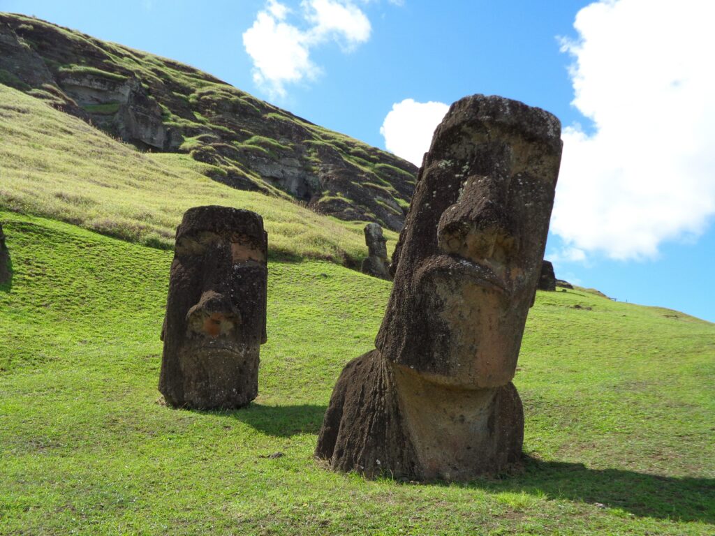
The landscape of Rapa Nui (or Easter Island) is best known for the more than 1000 monumental statues known as moai, which were built by the ancestors of the Rapa Nui people. Despite its small size, at just 170 square kilometres, and remote location, 3500 km from the coast of Chile, Rapa Nui continues to receive international attention from archaeologists and other researchers alike. Today, the island of Rapa Nui is a protected site as it listed as both a UNESCO World Heritage Site and a national park.
This archive published on the ADS website presents the results of the Rapa Nui Landscapes of Construction Project (LOC). This was an AHRC (Arts and Humanities Research Council) funded collaborative project between the UCL Institute of Archaeology, the University of Manchester, the University of Bournemouth, the Chilean National Parks Authority, Rapa Nui and the Museo Antropologico, Rapa Nui.
The project aimed to develop new interpretations for the organisation and meaning behind the construction of these monumental statues, and to explore associated features such as statue quarries, transport roads, and ahu, the platforms on which these monuments stand. The project also included a series of engagement activities working alongside the Rapanui National Parks (CONAF) and Orkney Research Centre for Archaeology (ORCA), University of Highlands and Islands.
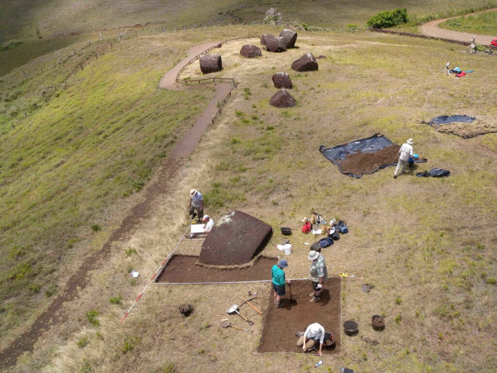
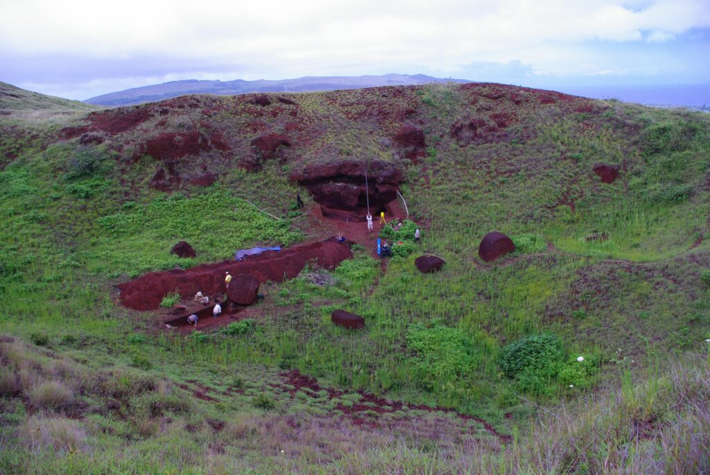
The project ran from 2008 to 2015 and included a series of fieldwork seasons utilising a series of different investigation methods including excavation, geophysical survey, 3d laser scanning, photogrammetry and aerial photography.
This archive contains an extensive array of material related to this project that is available to download and reuse under a Creative Commons Licence. The download section of the archive includes:
- Project reports and publications: yearly reports produced by the project (in both english and spanish) and a selection of publications.
- Excavation data: from excavations at Puna Pau in 2009, 2012 and 2013 including registers, plans and context sheets.
- Survey data: raw geophysical survey data and plots of enhanced data, raw topographic survey points, walkover survey data.
- Project GIS: trench locations at Puna Pau and geophysical survey locations.
- Photographs, video and audio recordings: Working shots, finds, excavation photographs, panoramic images, survey photographs, aerial imagery, interviews.
- 3D data, including photogrammetry.
The archive is available on the ADS website here http://dx.doi.org/10.5284/1090477.