Geophysics metadata
Some information about the survey techniques used during a survey is required. This will help to assess the suitability of the archived geophysical results for later re-use. Such information would enable questions such as, for example, ‘was the sampling interval close enough to detect narrow and shallow ditches?’
All survey techniques
The following is a list of fields that are useful to record for each survey technique on each individual survey event. This information may hence be repeated several times to cover all techniques employed on all survey visits.
| Survey type | The category of geophysical technique used should always be recorded. The following list, while not entirely exhaustive, gives examples of the survey types most commonly encountered in archaeological geophysics: – magnetometer survey (land based) – magnetometer survey (marine) – magnetic susceptibility (volume- or mass specific susceptibility); including random samples, gridded, lab based measurement of samples and field based in-situ measurements – earth resistance survey – Electrical Resistivity Imaging (ERI); including pseudosections and tomography – Vertical Electrical Sounding (VES) – electrostatic survey – low frequency electromagnetic – Ground Penetrating Radar (GPR) – seismic – microgravity – magnetotelluric (MT) – Very Low Frequency electromagnetic (VLF) – radioactivity – Side Scan Sonar (SSS) – singlebeam echosounder – multibeam echosounder – sub-bottom profiler |
| Instrumentation | Specific information about the type and configuration of the geophysical instruments used (e.g. specific probes or antennas) is required to assess the information available. As an example, it could be recorded that a ‘Bartington Grad 601-2 Fluxgate Gradiometer’ or a ‘SIR2 GPR system from GSSI with a 400 MHz dipole antenna’ was used for a particular survey event. |
| Reasons for choice of survey technique | A short statement on the reason why this particular survey technique and its methodology was selected helps with the future evaluation of the survey results. Possible reasons include: – archaeological questions – previous aerial photographic evidence – previous geophysical survey results – current land use – previous land use – underlying solid and drift geology – other local geomorphological and topographic factors – degree of access to land – time, money and personnel available for the survey |
| Area surveyed | It is helpful to have an indication of the area of ground covered with each survey technique, as this allows a quick estimate of the quantity of data collected. The unit of measurement used should be clearly stated (square metres or hectares are equally acceptable). |
| Method of coverage | To assess the extent of the survey coverage it is important to record the method by which the ground was covered and the data were acquired. Possible methods are (see Data acquisition): – gridded data – line data – non-gridded data – scanning |
| Traverse separation | The separation between adjacent walked survey traverses should be recorded in metres where a series of parallel lines (a ‘regular grid’) is used to collect data for a particular technique. For multi-sensor instruments (e.g. Grad 601-2) a clear differentiation between this separation of traverses walked (e.g. every 2 m) and the resulting Line separation of the merged data lines from the different instruments must be made (e.g. 1 m for two sensors). |
| Line separation | The separation of resulting data lines after the merger of all sensor data from a multi-sensor instrument (cf. Traverse separation) should also be recorded. |
| Reading interval | If data are recorded at regular intervals along the traverses, the distance in metres between adjacent readings should be noted. |
| Sampling position | The exact position where data were recorded, whether within the grid squares or at grid corners (e.g. ‘0.5m in both directions from the SW grid corner’). |
| Data grid size | If data were collected over individual data grids, their size should be documented for ease of data coordination (e.g. ’20 m x 20 m’). |
| Accuracies | The accuracy of recording, both in terms of the spatial accuracy (i.e. how well the measuring position matches the assumed recorded position) and of the recorded values (i.e. the level of signal noise). Although a numerical estimate of the accuracy would be useful, it may be sufficient to document the recording method in detail, for example whether automatic or manual triggers were employed, which data range was selected on the instrument, and whether data were collected while moving or stationary. |
| Additional remarks | It is important to note any other technical aspects of the survey which may have a bearing, such as instrumentation problems, or the use of non-standard techniques. |
In addition to these metadata, the following information is required for earth resistance, magnetometer, low frequency electromagnetic surveys and ground penetrating radar surveys.
Earth resistance surveys
| Electrode configuration | The earth resistance response from shallow features depends strongly on the electrode configuration used. It is therefore important to record this information for a thorough interpretation of the results. Examples of possible probe configurations include: – twin-probe – Wenner – equidistant double dipole (‘Wenner-beta’) – general double dipole – square – Schlumberger |
| Electrode spacing | The depth to which features are recorded depends on the electrode separation used, so it is very important to record the distance between adjacent electrodes, for example on a mobile twin-probe frame. |
| Multiple configurations | Earth resistance data may have been recorded at each measurement location with different electrode configurations using a multiplexer (e.g. Geoscan MPX15) and information about this sequence should be provided. |
Magnetometer surveys
| Magnetic north | The orientation of the geophysics coordinate system relative to Magnetic North is important for the interpretation and processing of magnetometer data and an accurate record should be made. The use of a compass is recommended, as Magnetic North differs from True North and Grid North, and varies slightly with time. |
| Instrument drift | The instrument used for the geophysical survey may show a gradual change of its readings with time (‘drift’). If information on such a drift is recorded regularly (e.g. after the completion of each grid for an FM256 fluxgate gradiometer) the effect may be compensated by the use of appropriate software. Details of the method used for monitoring the instrument drift and the measured drift itself should be documented (e.g. ‘log zero-drift after each grid at common position’). |
Low frequency electromagnetic surveys
| Coil configuration | The distance and relative orientation of the instrument’s coils should be specified. |
| Recorded component | The recorded electromagnetic component needs to be specified: – apparent conductivity – apparent susceptibility – in-phase – quadrature. |
Ground penetrating radar surveys
| Antenna information | For pulse radar systems, the centre frequency of the antenna, for stepped FM systems the range of frequencies is required. |
| Timing information | In order to interpret the results from a GPR survey and to associate the plots with a vertical scale, it is important that information on the time delay for the recording of the first reflection, the time sampling resolution and the maximum time span of the recording are noted. This will allow an assessment as to whether the data provided are investigating deep or shallow ground and what size of features may be detectable. |
| Average subsurface velocity | An estimate of the electromagnetic velocity (in m/ns) should be provided to convert two-way travel times to depth. The method used to derive such an estimate should be specified, for example observing ground conditions and using tabulated values, undertaking CMP measurements, a test survey over a target of known depth, fitting of reflection hyperbolas or applying migration tests. |
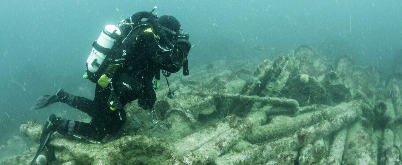
Maritime Sonar Surveys
| Average water velocity | An estimate of the water velocity (in m/s) should be provided to convert two-way travel times to depth. The method used to derive such an estimate should be specified. |
| Sonar frequency | The sonar frequency used should be provided in kHz. |
| Beam width at nadir | An estimate of the beam width gap in degrees at nadir is required for multibeam echosounders. |
Survey Methodology
It is often useful to describe the survey methodology briefly to help re-assemble the data at a later time. The following should be documented for each survey technique.
| Data grid layout | If data were collected over individual data grids it is important to know where they are located in the geophysics coordinate system to assemble them into an overall layout. There are two possible approaches to the documentation of such a mesh (see Data aquisition and Assembling data into composites): – If all data grids are of the same size, their arrangement can be indicated in a table or spreadsheet using the appropriate file names. – For arbitrarily sized grids the geophysics coordinates for each data grid’s lower left-hand corner can be supplied with an indication of its size. |
| Data grid size | This field has already been included in the section of the general Geophysics metadata, but needs to be recorded separately for each data grid if not all data grids have the same size. |
| Resolution | The spacing between measurement points in the x- and y- direction. This information corresponds to the above-mentioned items Line separation and Reading interval but it may be necessary to record it for each grid individually. |
| Survey direction | The direction in which the first traverse of the grid was surveyed and where the subsequent traverses are located. If, for example, surveying began in the ‘top left’ corner of the grid (seen in geophysics coordinates), walked from ‘left’ to ‘right’ and then on subsequent lines from ‘top’ to ‘bottom’, this could be described as ‘survey direction in positive x-direction, subsequent lines added in negative y-direction’. |
| Line sequence | The way in which the data grid was walked: in parallel lines always in the same direction (uni-directional), or back and forth (zigzag or bi-directional surveying). This information needs to be recorded as destriping or destaggering of data may need to be carried out at a later stage. |
| Drift value | If the instrument used is able to record the drift across a grid (e.g. an FM256), this value can facilitate later drift corrections and may be noted for each data grid individually. |
| Bias value | In case the data were stored with an offset value subtracted, it is important to record this information for each data grid. |