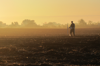
Geophysical survey
While undertaking the geophysical surveys it is important to take note of items that will be recorded as part of the Comprehensive Documentation (Comprehensive documentation), in particular on land use, soil conditions and instrument parameters. It should also be considered to clearly distinguish between ‘survey blocks’ (see File description), which are the smallest survey areas for which all measurement parameters are the same and using these to label any intermediate results that are created from the data, for example in the field. The folder structure and naming conventions discussed above should be adhered to from the outset.


