Reasons for archiving
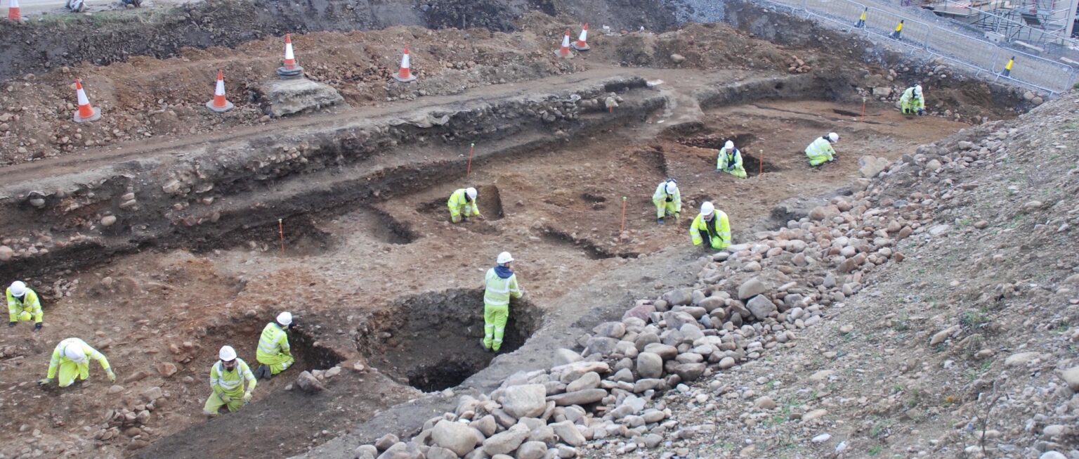
Geophysical data are sometimes the only record of buried archaeological features that are destroyed during commercial developments and may hence be the only record of our cultural heritage in years to come; reason enough to preserve them.
It is important to clearly distinguish between geophysical data and their archaeological interpretation. While “data are always and for ever right”, an adage attributed to H.C. Soffel, archaeological interpretations depend on the prevailing paradigm, the experience of the interpreter, known sites of similar kind or in similar environments etc. All this knowledge and understanding may change even within a decade and archaeological re-interpretation of the geophysical data may hence become necessary and allow new insights.
Archaeological research seldom relies on a single site alone and synoptic analysis requires an assemblage, or portfolio, of many sites (e.g. all Native Indian sites in Nebraska) to further our understanding of past cultures. A comprehensive selection of data, from excavation, remote sensing and geophysical survey are hence essential as an archive of our past.
Evaluating results from many geophysical surveys is also important for geophysicists to develop a better understanding of the factors that allow for successful measurements and the best techniques suitable to a particular soil or geology. There is an abundance of non-archaeological parameters that influence geophysical measurements and a totally reliable prediction of survey success may not be possible (Jordan 2009). The lack of geophysical anomalies can therefore not be taken as a prediction for the absence of archaeological features (the ‘dilemma of negative evidence’), but a large corpus of survey results allows a far better understanding of these issues and provides ways of making probability-guided estimates.
It is obvious that simply keeping a small picture in a project report delivered to a client, possibly even with some confidentiality embargo, is not sufficient to allow further studies. But why then is an image of the data on a CD not enough? As explained in the introduction to the ‘Life of geophysical data’ section, such an image is only a visualisation of the data, produced with current computer technology. One only has to compare an old dot density printout produced ten years ago with a modern greyscale plot of the same data to immediately realise the rapid advances in computer visualisation that has improved our insight into the information content of geophysical data. If anything, these advances will only become faster (maybe 3D images on electronic paper?) and preserving the original survey data is hence essential for new and better images.
This is even more true for the full range of data processing techniques. Data can now be improved with new destriping and destaggering algorithms that were not available several years ago. Only preserving the original data allows for their improvement in future with new techniques and subsequent enhanced archaeological interpretations.
Nearly all geophysical survey data require improvements (see above); hardly any field survey is ‘perfect’. Learning from existing data and their imperfections is an important way to improve future data acquisition and develop new methodologies. In particular, understanding which survey defects can be computationally corrected and which simply are too inconsistent to be amenable to such a treatment is an essential learning experience. Archived data are an important resource for teaching and learning in archaeological geophysics.
For geophysicists in commercial and academic environments, institutional requirements frequently mitigate against wider distribution of results. Geophysics contractors often deliver their results directly to a client, maybe to be seen only by a Council Archaeologist in a planning department but otherwise locked away due to confidentiality issues. Academics may embargo access to results until a publication is released. These external pressures must not be underestimated when considering archiving strategies and issues of access need to be made clear. Amateur groups have recognised the benefits of sharing data with a wider community so as to harness further insights. There are many reasons why access to geophysical data, through an Archiving Body, is beneficial, the following gives some examples.
- An Archiving Body may expose metadata (see below) and help with ‘resource discovery’.
- It facilitates communication within archaeology about work that has been undertaken thus
- helping to avoid duplication of effort,
- providing resources to test and develop new techniques for data treatment and analysis,
- enabling new research with already existing data sources.
- Sharing data also helps in their preservation – the more formats a data set is copied into, the greater the chance of its survival.


